Salem workshop presents flood modeling for Collins Cove and three protection concepts; no decision made
Get AI-powered insights, summaries, and transcripts
Subscribe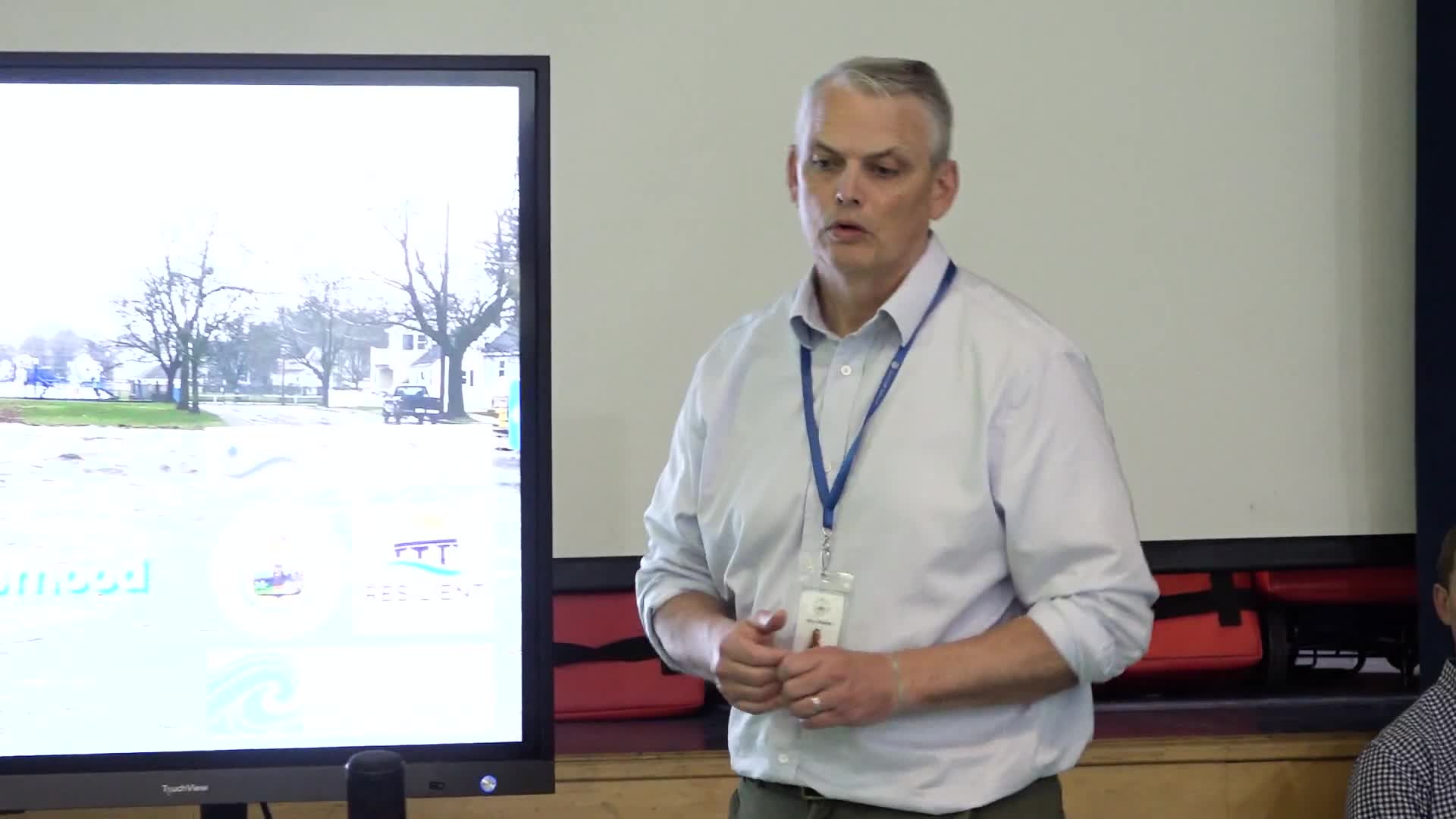
Summary
Project team presented hydrologic/hydraulic modeling showing coastal and stormwater flooding in the Collins Cove area, discussed three conceptual responses — redesigning the seawall, adding natural features, and improving inland drainage — and asked residents for feedback; staff said a preferred option should be identified by May 2026.
Salem City officials and project partners presented flood-mapping results and three conceptual resilience options for the Collins Cove neighborhood at a Resilient Together community workshop at Scarlet School and asked residents for feedback; no formal decision was made.
Project staff said the technical work uses a hydrologic/hydraulic model to reproduce current and future storm flooding and the team will refine conceptual designs based on community input, with a target of identifying a preferred option around May 2026.
The project team — introduced by Ellen Douglas, identified in the meeting as the project manager — showed high‑resolution elevation maps derived from drone imagery and other data that identify low areas and likely flow paths for tidal and stormwater inundation. The model was described as a combined hydrologic and hydraulic analysis that reproduces rainfall, pipe and surface flows and predicts where water will collect during coastal-storm and extreme-rain events. "Esto es el modelo... y esto es cómo puede prevenir a la endosión," the modeler said during the presentation, describing how the tool can help locate vulnerable pipes and pathways.
Staff identified three focus areas where conceptual interventions were developed: Collins Cove Park (the park area adjacent to Collins Street), a shoreline sector around Conners Road and adjacent beach fronts, and interior street drainage. The team presented three broad approaches for each area: take no action; redesign or raise the existing seawall and hard coastal defenses; or combine engineered defenses with natural, ecological features and inland drainage/storage to route stormwater away from streets and properties.
The modeling results shown to the room highlighted areas of concentrated flooding. Presenters said roughly 3.5 acres of land are already susceptible under near-term scenarios and larger areas — up to 7.5 acres in some model runs — could be inundated under higher water levels and stronger storms later this century. Project staff described predicted inundation depths ranging from small surface pooling (measured in centimeters) to pockets of deeper standing water (reported in some slides as up to about 2 feet in the darkest model areas). The team emphasized that the darker map shading corresponds to deeper modeled flooding at locations such as Beacon Street and parts of Collins Street.
Tyler Emmat, identified during the meeting as the staff member who built the hydraulic models, explained limits of single‑approach strategies: raising only the seawall without providing drainage or alternative paths for stormwater could push water into adjacent streets. "Si hacemos algo ... y no vamos a crear una intervención del agua, el agua no se va a ir a ningún otro lado, simplemente va a rebalsar y se va a ir en las calles," Emmat said, explaining why coastal and inland interventions must be considered together.
Representatives of Salem Coastwatch (organization name given in the meeting) described outreach steps taken so far: a door‑to‑door survey, an online survey and in‑person events at the park. The Coastwatch representative said staff are collecting photographs and event accounts from residents to refine the model and concepts. "Queremos escuchar de ustedes. ¿Qué piensan ustedes?" the project manager asked participants during the workshop.
Participants asked practical questions about short‑term measures. One question asked whether existing sandbag placements could be removed. Staff answered that the city plans to remove sandbags when equipment (tractors and trucks) used by the public works department is available; they noted that stacked sandbags in some places raise the effective barrier height locally to roughly 12 feet when added to the existing structure, and that any permanent redesign will need to consider neighborhood beach access and uses such as the baseball diamond.
Staff noted next steps: finalize conceptual options based on workshop feedback, continue park- and neighborhood-level outreach, prepare conceptual designs and keep the community informed through the project website and the city's public input portal. No vote or formal action was taken at the workshop; staff characterized the concepts as early-stage alternatives subject to further analysis and public comment.
Organizers asked residents to submit photos and first-hand accounts of past storms to help refine modeling, and said additional public meetings and site outreach will continue through the next project year.