Get Full Government Meeting Transcripts, Videos, & Alerts Forever!
Get email alerts on the Public Safety Wildfire topic
No spam. Unsubscribe anytime.
Council adopts first reading of updated CAL FIRE hazard map; staff to return July 9 for second reading
Summary
Santee accepted CAL FIRE’s updated fire hazard severity map and set a July 9 second reading, prompting council discussion about homeowner insurance, parcel-level rules and public outreach.
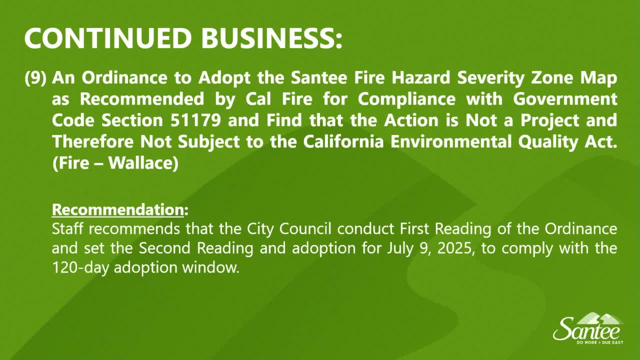
The Santee City Council on June 25 opened and adopted the first reading of an ordinance and resolution to adopt the city’s updated Fire Hazard Severity Zone Map as recommended by CAL FIRE, and scheduled a second reading for July 9 to meet a state statutory 120-day adoption deadline.
City Fire Marshal Aaron (City of Santee Fire Marshal) summarized the update: “CAL FIRE a new fire hazard severity zone map for the city of Santee back on 03/24/2025. This new map introduced 2 new zones, the moderate and the high fire hazard severity zones. This is the first update since 02/2009.” He described the methodological basis: improved modeling, climate data and fire history prompted changes that expand the acreage in very high, high and moderate zones.
Marshal Aaron explained local implications for homeowners and permitting: moderate-designated properties have no new building requirements but must be identified; properties in the high zone would need compliance with California Building Code Chapter 7A for new construction and real-estate disclosures about home hardening and defensible space; very-high areas retain requirements in place since 2011, including additional defensible-space standards and subdivision-review implications.
Councilmembers and residents discussed consequences for long-time homeowners, insurance availability and the parcel-level rule applying the most stringent zone on any parcel that spans zones. One councilmember said the change is “really difficult” for homeowners facing increased insurance and retrofit costs. A resident urged staff to provide clearer maps with legends showing city, county and Caltrans jurisdictions and to flag habitat areas where removal is restricted.
Marshal Aaron said the department received no online public comments after launching the map webpage and that state CAL FIRE maps are publicly available. Staff recommended adopting the map provided by CAL FIRE to comply with Government Code timeliness requirements and to transmit ordinance copies to the board of forestry, county recorder, assessor and planning departments within 30 days of adoption.
Council voted to carry the staff recommendation; the second reading and final adoption are scheduled for the July 9 meeting to meet the statutory deadline.