Get Full Government Meeting Transcripts, Videos, & Alerts Forever!
Lompoc council approves first reading of ordinance adopting state fire hazard severity maps
Summary
The Lompoc City Council voted 5-0 to introduce an ordinance adopting California State Fire Marshal maps that designate locally applicable fire hazard severity zones; the maps will require stronger building and defensible-space measures in identified areas and return for a second reading on July 15.
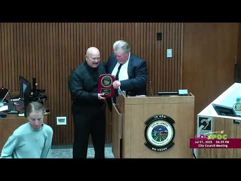
The Lompoc City Council on a 5-0 roll-call vote on first reading introduced Ordinance No. 17 29 25 to adopt fire hazard severity zone maps provided by the California State Fire Marshal that designate parts of the city as higher-severity wildfire hazard areas.
The ordinance, presented by John Stephens, fire marshal and battalion chief for the City of Lompoc, designates zones concentrated north of town at the Y and Harris Grade and on the south side of the city roughly south of Olive Avenue. Stephens said the maps measure hazard — based on 50 years of fuel, topography and weather modeling — and not short-term risk, which is addressed through defensible-space and building-hardening actions.
"So will this affect my insurance? It shouldn't," Stephens told the council, quoting guidance from the California Department of Insurance that insurers typically use short-term risk models rather than the long-term hazard maps.
Why it matters: The maps, when adopted…
Already have an account? Log in
Subscribe to keep reading
Unlock the rest of this article — and every article on Citizen Portal.
- Unlimited articles
- AI-powered breakdowns of topics, speakers, decisions, and budgets
- Instant alerts when your location has a new meeting
- Follow topics and more locations
- 1,000 AI Insights / month, plus AI Chat