Get Full Government Meeting Transcripts, Videos, & Alerts Forever!
Get email alerts on the Zoning Impound Lot topic
No spam. Unsubscribe anytime.
Mooresville council accepts withdrawal of impound‑lot rezoning after runoff and floodplain concerns
Summary
The Mooresville Town Council voted to accept the applicant’s withdrawal of a rezoning petition for an impound‑lot on Annapolis Road after Planning Commission members and residents raised runoff, flood‑elevation and proximity concerns; the applicant said it will return with written commitments.
Mooresville Town Council members on July 1 accepted the withdrawal of a petition to rezone a parcel on Annapolis Road for use as an impound lot after officials and residents raised concerns about runoff, floodplain elevation and the parcel’s proximity to the Boys & Girls Club and a nearby school.
The withdrawal was announced by the applicant’s representative, Ross, who told the council the site had been used as an impound yard and that he would “ask to withdraw, and we'll go back to the planning commission.” The council moved and seconded a motion to accept the withdrawal and voted aye, 5‑0.
The Planning Commission had expressed two central concerns: that the impound activity would be too close to “more benign uses” to the west — specifically the Boys & Girls Club and school property — and the potential for pollutants from outdoor vehicle storage to run toward a nearby detention basin that lacks a formal outfall. A Planning Commission member told the council the site’s fenced east side is at about 671 feet, the west side about 675 feet, and the mapped 100‑year base flood elevation is 669 feet; runoff from portions of the parcel flows toward the basin and appears to infiltrate in a gravel‑bearing area.
Ross described the intended use as an impound lot — a temporary storage area for vehicles awaiting retrieval by owners or insurers — and said it is not intended to operate as a salvage or junk yard. “This is not a salvage yard, not a junkyard. It's intended to be an impound lot,” he said. He and other speakers described mitigation measures that could be added as written zoning commitments if the petition were resubmitted: size limits (the fenced area now is about one‑quarter acre), containment curbing that drains to a pumped double‑walled tank, limits on outdoor storage duration, pest control, and a berm between the lot and the western uses.
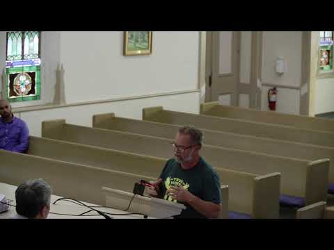
A Planning Commission representative told the council Morgan County Soil and Water Conservation District had opposed the request because of runoff concerns. A resident, Dave Snyder, who spoke during public comment, said he had driven by the site repeatedly and described the current yard as a “junkyard” where vehicles are tightly packed and do not leave. “Cars go in. They don't come out,” Snyder said.
Council members discussed options: approving the rezoning as presented, imposing written commitments, or allowing a withdrawal so the applicant could resubmit with conditions. Town staff advised that, under state statute and local procedure, the council must act on a planning commission certification at the meeting following that certification; changes to a petition typically require withdrawal and resubmittal. The applicant’s representative asked to withdraw so he could prepare written commitments for the Planning Commission’s consideration.
Outcome: The council accepted the applicant’s withdrawal and did not take any zoning action at the meeting. The applicant said it would return to the Planning Commission with written commitments addressing the size of the lot and pollution‑mitigation measures. Any future zoning action would be considered after the Planning Commission process.
What remains open: enforcement of existing vehicles on the site if the rezoning is not pursued; potential written commitments the applicant may file on resubmittal; and whether future flood‑map revisions (controlled by the state Department of Natural Resources) would alter local floodway fringe limits that affect the parcel.