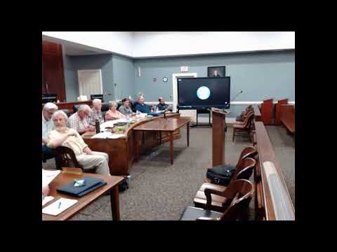
Nelson County adopts floodplain zoning amendment after joint hearing
Summary
Nelson County’s Board of Supervisors adopted Ordinance 02025-3, updating the county’s General Floodplain District rules to align with FEMA’s new flood insurance rate maps effective Aug. 5, 2025, after a joint hearing with the Planning Commission.
Nelson County’s Board of Supervisors voted to adopt Ordinance 02025-3, an amendment to Appendix A Zoning Article 10 (General Floodplain District FP), following a joint public hearing with the Planning Commission.
County planning staff told the joint meeting that the amendment updates local floodplain rules to match new FEMA flood insurance rate maps (FIRMs) finalized for Nelson County and set to take effect Aug. 5, 2025. "FEMA is a federal agency that administers the National Flood Insurance Program," a planning staff member said, explaining why the county must update its ordinance to remain in the NFIP.
The amendment was recommended unanimously by the Planning Commission and then adopted by the Board of Supervisors. The public hearing produced no public speakers.
Why it matters: The county’s existing effective flood maps date to June 10, 2010, and staff said approximately 5,000 property parcels will see changes to whether they are shown in the mapped floodplain. To remain eligible for the National Flood Insurance Program, the county must adopt ordinance language consistent with the new FIRMs and submit the adopted ordinance to the Virginia Department of Conservation and Recreation for review and to FEMA for final acceptance.
At the joint meeting, planning staff summarized the required process and next steps: update local ordinance language, submit the adopted ordinance for DCR review at least 30 days before the FEMA effective date, and notify property owners where the floodplain designation on their parcels has changed. Staff said the county’s GIS overlay identified affected properties and that the county is preparing a mass mail-out to meet statutory notification requirements. The staff member noted that the new maps are available on FEMA’s website but said the online view can be difficult to use.
The Planning Commission moved to recommend approval of Ordinance 02025-3 (Amendment to Appendix A Zoning Article 10: General Floodplain District FP); a roll call recorded affirmative votes, and the commission clerk confirmed a unanimous recommendation to the Board. The Board then made and seconded a motion to adopt the ordinance. A roll call recorded "Yes" votes from Dr. Williams, Mr. Rutherford and Mr. Reed; the ordinance was adopted.
No public comment was offered during the hearing. The adopted ordinance and approval will be sent to the Virginia Department of Conservation and Recreation and FEMA for final review and acceptance before the new maps take effect. Staff said the county will mail notices to affected property owners and that the maps are viewable on FEMA’s site.
For property owners seeking more information, planning staff advised consulting the FEMA flood maps and contacting the Nelson County planning department; staff acknowledged the FEMA online interface can be difficult to navigate.
AI generated
The text on this page is AI generated. Summaries, highlights, analysis, and video transcripts are all produced from the original source material.
AI can make mistakes, so if you spot one, and we will fix it for everyone.
Note: the source content is unaltered by us. Any content source we link to, be it a video, an audio recording, or a document, is presented exactly as its publisher released it. That publisher is usually a government body, sometimes an individual official or another organisation.