Get Full Government Meeting Transcripts, Videos, & Alerts Forever!
Get email alerts on the Public Safety Fire Safety topic
No spam. Unsubscribe anytime.
Council introduces ordinance to adopt CAL FIREs updated fire hazard severity maps including South Hills
Summary
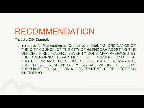
Council introduced for first reading an ordinance to adopt CAL FIREs updated fire hazard severity zone maps for Los Angeles County, which newly designate the South Hills area; state law requires local adoption within 120 days.
The Glendora City Council introduced for first reading an ordinance on June 24 to adopt the State of California’s updated Fire Hazard Severity Zone maps for the portion of Los Angeles County that includes Glendora.
Community Development Director Jeff Kugel told council that CAL FIRE released the updated maps on March 24 and that state law requires local jurisdictions to adopt the maps within 120 days. The primary change affecting Glendora is the addition of the South Hills area to the very-high fire hazard severity zone; several other high-fire-hazard areas were adjusted slightly under the updated maps.
Kugel said the maps use modeling that accounts for vegetation fuels, topography and fire behavior and that the maps are used for planning, emergency preparedness, and building-safety considerations. He directed residents to both the CAL FIRE website and the city website to check whether specific properties fall within the updated hazard zones and noted staff can provide assistance.
Councilmembers thanked staff for updating the website and confirmed the ordinance introduction; council took the item up as a first reading and gave direction to accept the ordinance for subsequent consideration. No public testimony was offered on the ordinance at first reading.
Under state mandate, the city must finalize its local adoption procedure within the statutory timeframe; subsequent steps will include posting maps and providing public information on property-level designations and any code- or permit-related implications.