Dodge County amends comprehensive plan maps for several towns, including farmland preservation corrections
Get AI-powered insights, summaries, and transcripts
Subscribe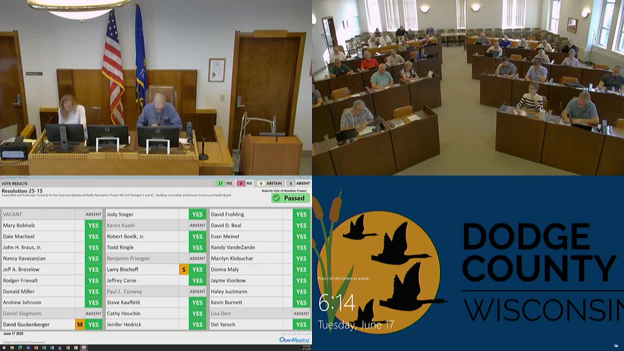
Summary
The board approved several amendments to the Dodge County Comprehensive Plan to align town maps with state records and to adjust farmland preservation maps; votes carried on committee recommendations with some questions from supervisors about cemetery mapping.
The Dodge County Board of Supervisors approved multiple amendments to the county Comprehensive Plan at the board meeting, including map corrections submitted by towns intended to align local maps with state records and changes affecting farmland preservation credits.
Resolutions included: Resolution 25-16 (amendment for the Town of Emmett) and Resolution 25-17 (amendment for the Town of Hubbard). Both were presented by the Land Resources and Parks Committee and the board approved those recommendations on committee motions. The committee documentation indicated the submissions were town-initiated map corrections to match state maps.
Supervisor Hedrick raised questions about a separate map change that touched on cemetery locations and asked, "What happens to a cemetery that's moved to the gravestones and the the history of the cemetery?" Committee members responded that the town submitted the map clean-up and that any questions about cemetery relocation practices would be for the town; one supervisor said, "I don't believe they're going to be doing anything different with the cemetery. I just think it's, it's what the town had proposed, so that they could ultimately get more, credits towards farm land preservation."
The board recorded votes on the committee recommendations. The motion on one set of amendments passed 27 to 0; another farmland preservation map amendment was recorded as passing 24 to 3 after discussion. The resolutions were signed by members of the Land Resources and Parks Committee and recorded in the official board record.
County staff noted these amendments were town-submitted map clean-ups intended to bring local maps into alignment with state mapping and to address farmland preservation crediting; the board did not direct additional county-level changes to cemetery management or relocation procedures during the meeting.