Get Full Government Meeting Transcripts, Videos, & Alerts Forever!
Utilities staff outlines GIS rollout and water-plant maintenance needs to council
Summary
City utilities staff demonstrated the municipal GIS platform for water and sewer asset management and described ongoing water-plant maintenance and inspection needs; staff said GIS will inform a forthcoming rate study and improve emergency response and asset prioritization.
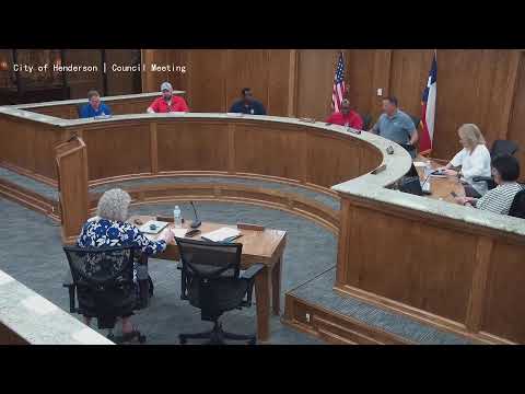
City utilities staff gave the Henderson City Council a demonstration of a geographic information system (GIS) the department is using to map water and sewer infrastructure and described maintenance needs at the city’s water treatment facilities.
Grama, a utilities staff member, told the council GIS is a “digital platform used to store, analyze, and display maps, which shows us where our water sewer lines are.” He said the system maintains a live inventory of pipes, valves, hydrants and manholes, can integrate with work-order systems, and supports emergency response by locating valves quickly for isolation during…
Already have an account? Log in
Subscribe to keep reading
Unlock the rest of this article — and every article on Citizen Portal.
- Unlimited articles
- AI-powered breakdowns of topics, speakers, decisions, and budgets
- Instant alerts when your location has a new meeting
- Follow topics and more locations
- 1,000 AI Insights / month, plus AI Chat