Get Full Government Meeting Transcripts, Videos, & Alerts Forever!
Get email alerts on the Utilities Infrastructure topic
No spam. Unsubscribe anytime.
Utilities staff outlines GIS rollout and water-plant maintenance needs to council
Summary
City utilities staff demonstrated the municipal GIS platform for water and sewer asset management and described ongoing water-plant maintenance and inspection needs; staff said GIS will inform a forthcoming rate study and improve emergency response and asset prioritization.
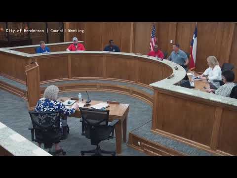
City utilities staff gave the Henderson City Council a demonstration of a geographic information system (GIS) the department is using to map water and sewer infrastructure and described maintenance needs at the city’s water treatment facilities.
Grama, a utilities staff member, told the council GIS is a “digital platform used to store, analyze, and display maps, which shows us where our water sewer lines are.” He said the system maintains a live inventory of pipes, valves, hydrants and manholes, can integrate with work-order systems, and supports emergency response by locating valves quickly for isolation during breaks.
“Using GIS can help us track in real time, where all of our things are,” Grama said, adding it also helps with project prioritization and will be used in the city’s upcoming rate study: “It gives you an idea on how often you're gonna be repairing or replacing, that pipe.” He described how GIS stores pipe diameters, materials and run lengths so staff can estimate life expectancy and prioritize capital work.
Randy Boyd, a utilities colleague, briefed council on treatment-plant operations and maintenance needs. Boyd said the surface-water plant and the well fields together produce on the order of millions of gallons per day, and he emphasized routine maintenance and inspections for clarifiers and filter media. He told the council clarifiers require inspections every two years and noted the city recently undertook dredging of a facility built in the 1950s; staff discussed bids for that work and in-house options. Boyd also discussed the use of a sludge pump for service and other plant rehabilitation work.
Council members asked follow-up questions about regional partnerships, fire-protection benefits where larger mains permit hydrants, and how GIS will support a rate study and capital planning. Staff said they will provide more detailed cost estimates and technical briefings in subsequent departmental meetings.
Why this matters: GIS-driven asset inventories and accurate plant-condition data are central to emergency response, capital budgeting and rate-setting. Council members were told the platform will be a tool for prioritizing repairs, targeting preventative maintenance and supporting regional service decisions.
Staff said they will return with more detailed cost and schedule information for specific plant repairs and dredging bids; the GIS work will continue to be incorporated into capital-improvement planning and the rate-study process.