Get Full Government Meeting Transcripts, Videos, & Alerts Forever!
Get email alerts on the Subdivision topic
No spam. Unsubscribe anytime.
Alton board approves subdivision for LeTourneau family after waiver requests and plan clarifications
Summary
The Planning Board approved case P25‑17, a subdivision creating a roughly 7.88‑acre lot, after granting a waiver for a contiguous‑upland mapping requirement and asking the applicant to add buildable‑acreage and soils detail to the recorded plans.
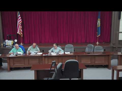
The Alton Town Planning Board on June 17 approved case P25‑17, a subdivision that splits an existing parcel to create a new lot of about 7.88 acres for the LeTourneau family, subject to plan clarifications and a granted waiver for a boundary survey display requirement.
The applicant’s representative said the submission included three sheets: subdivision sheets and a separate topographic sheet. Planning staff asked for additional detail to match recent plan presentation standards: a clear soils map on the plans, a notation of the minimum contiguous upland (buildable) acreage after wetlands and slopes are excluded, and clarity in the sheet numbering so county recording would accept the set.
The board reviewed a list of checklist items and accepted waivers where appropriate; the board granted one waiver for the contiguous‑upland notation after review and directed the applicant to add buildable‑acreage calculations to the topographic and subdivision plans. Staff confirmed soils data were available and asked that the plan copies show the soils more legibly.
After the requested plan updates, the board approved the subdivision with standard conditions subsequent and precedent; the motion carried by voice vote. The board’s approval included staff follow‑up to ensure the soils and buildable‑acreage notes are placed on the record prior to final plan recording.