Get Full Government Meeting Transcripts, Videos, & Alerts Forever!
Get email alerts on the Recorder Automation topic
No spam. Unsubscribe anytime.
Tooele County Recorder/Surveyor unveils AI-powered recording system to speed deeds, reduce errors
Summary
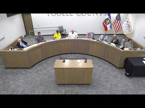
Tooele County Recorder and Surveyor Jerry Houghton told commissioners Tuesday his office is deploying an AI-assisted digital recording workflow in partnership with Medici Land Governance to speed processing, reduce indexing errors and offer a 24-hour recording option to the public.
Tooele County Recorder and Surveyor Jerry Houghton told commissioners Tuesday his office is deploying an AI-assisted digital recording workflow in partnership with Medici Land Governance to speed processing, reduce indexing errors and offer a 24-hour recording option to the public.
Houghton said the office began training earlier than planned and expects to roll the system out by the end of the month. He told the commission the change will save "4,500 plus work hours" per year, a figure his office translated to a roughly $152,685 annual savings, and that indexing errors should decline by about 50%. "It's not going to replace employees," Houghton said, adding the technology will allow staff to work on higher-value processes.
The system, Houghton said, will streamline intake, allow electronic submissions, provide automated verification and shorten the time between submission and recording. He said the Recorder—s office is among the first in Utah to offer true 24/7 recording and one of the earliest nationwide to integrate this level of AI-assisted indexing with multiple electronic recording vendors.
Commissioners praised the work. Councilman Wardle called the Recorder's office "the subject matter expert in this in the state," and urged the office to continue the rollout while ensuring staff training and documentation. Houghton described the office—s next steps as staff training, stakeholder feedback sessions and the final roll-out.
Why it matters: land-record accuracy affects property transactions, tax assessments and public maps. Houghton said the integration will update interactive maps and public records faster than the current multi-day manual process, and that the public will be able to submit documents remotely.