Get Full Government Meeting Transcripts, Videos, & Alerts Forever!
Get email alerts on the Fire Safety Mapping topic
No spam. Unsubscribe anytime.
Fortuna introduces ordinance to adopt state fire hazard severity maps; first reading passed
Summary
The council introduced Ordinance 2025-775 to adopt updated fire hazard severity zone maps from the Office of the State Fire Marshal and set a follow-up public hearing; staff said the maps are state-issued and exempt from CEQA.
The Fortuna City Council conducted the introduction and first reading of Ordinance 2025-775 to adopt fire hazard severity zone maps issued by the Office of the State Fire Marshal and found the ordinance exempt from CEQA.
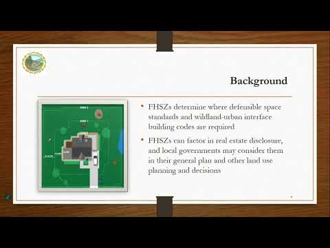
Sherry Meads, the city's community development director, told the council the maps were released by the California Department of Forestry and Fire Protection (CAL FIRE) in February and update existing fire hazard severity zones using recent fire-science modeling. Meads said the maps identify areas the state classifies as moderate, high or very high hazard and that local jurisdictions must adopt the state maps; the city may add to but cannot reduce zones designated by the state. Meads noted that, prior to the update, Fortuna had no designated fire severity zones and that the new maps include approximately 1,935 parcels within the city limits.
Meads said the maps are intended to inform planning, defensible-space requirements and disclosure practices rather than directly set insurance rates. She also said the Fortuna Fire Protection District adopted a matching ordinance on April 14. The council moved to introduce the ordinance, perform the first reading by title only and continue the public hearing to July 7, 2025; the roll-call vote was unanimous.
Why it matters: Adopting the state'issued map starts a local planning process tied to defensible-space and wildland-urban interface requirements for parcels in the newly mapped areas and may influence future permitting and hazard mitigation updates.
Details and next steps: Meads said the maps and parcel data are available on the CAL FIRE website and that the city promoted the maps on its homepage and requested public comment; staff reported no public comments were received during the posting period. The council scheduled the continued public hearing as part of the ordinance process.