Get Full Government Meeting Transcripts, Videos, & Alerts Forever!
Get email alerts on the Critical Areas Ordinance topic
No spam. Unsubscribe anytime.
Burien planning commission begins update to critical areas ordinance, schedules science briefings and public outreach
Summary
The City of Burien Planning Commission opened a multi-month update to its Critical Areas Ordinance on June 11, 2025, emphasizing required use of the best available science, an interactive mapping tool, public engagement and a timeline that could bring a final ordinance to City Council by November.
The City of Burien Planning Commission on June 11 opened a required 2025 update to the city’s Critical Areas Ordinance, outlining protections for wetlands, fish and wildlife habitat, aquifer recharge, frequently flooded areas and geologically hazardous areas and setting a schedule of consultant briefings and public outreach ahead of a planned Council adoption this fall.
Planning Commission Chair Shelly Park called the meeting to order and, after routine approval of the agenda and May 20 minutes, staff presented the scope and timeline for the CAO update, which the city must complete as part of a Growth Management Act periodic review. Amanda McIntyre, planner with the Department of Community Development, told commissioners that “critical areas are environmentally sensitive areas that require protection due to their ecological importance and or public safety risk,” and described how the update will use the best available science to revise standards and maps.
The ordinance review will address five statutorily required critical-area categories and related buffers and permits. McIntyre and other staff explained that protections guide what can be built in sensitive locations, require qualified technical review for proposals that affect wetlands or habitat, and use mitigation and easements to try to achieve “no net loss of ecological function.” She said wetlands on local waterways — including Walker Creek, Lake Burien, Arbor Lake and Miller Creek — are among mapped features that can affect development approvals.
Commission staff said the current CAO is in Burien Municipal Code chapter 19.4 and was last substantially updated in 2015. The project will include a code audit, a best-available-science (BAS) crosswalk prepared by consultants Facet (formerly The Watershed Company), an updated GIS analysis of mapped critical areas, and public-draft code changes for review. Key upcoming briefings are: a BAS presentation by Facet on June 25; a July 23 session on the draft code audit and gap analysis; an open house and Planning Commission public hearing set for Sept. 4; and planned Council review in October with an adoption target in November.
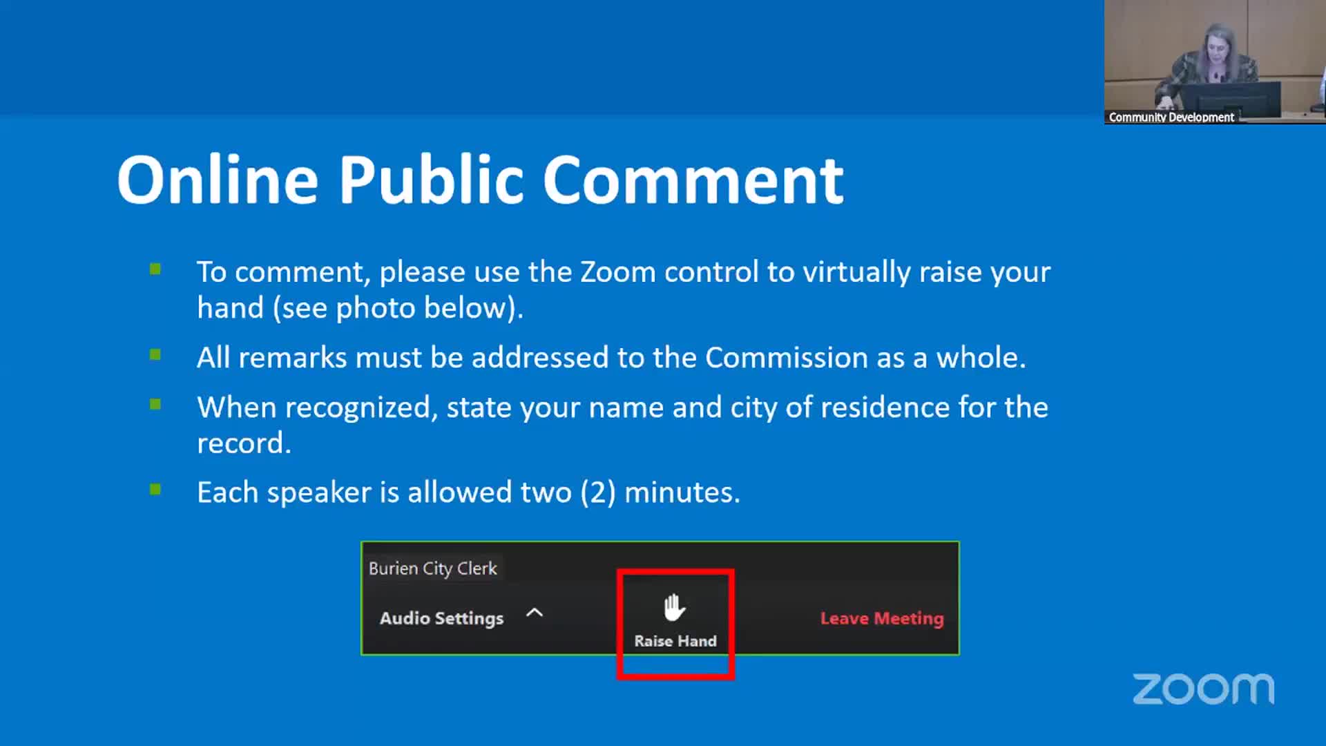
Staff demonstrated an interactive GIS web tool for property-level inquiries and said the city has prepared translated summary sheets for each critical-area type and a project webpage and community hub where residents can sign up for updates. McIntyre described how the map pop-up will indicate whether a parcel is in a mapped critical area and list multiple overlapping designations and their buffer types. She also explained procedural rules for public comment at Planning Commission meetings and the city’s approaches to outreach, including posts to the B Town blog and notices in the Seattle Times.
Commissioners and staff discussed how the CAO update intersects with other planning work, including ongoing middle-housing code changes. Commissioner Jimmy Mata Jr. and others noted that critical-area rules can limit what is feasible to build on constrained lots and emphasized the need to balance development objectives with environmental protections. One member observed that some city stormwater infrastructure issues will require budgeted capital work separate from code changes.
During public comment, Terry Mudder of 15406 20th Avenue questioned how the city defines and measures “equity” when higher-density development is promoted in expensive neighborhoods, saying, “I think equity is more like a transfer of equity to developers versus first time or homeowner opportunities.” McIntyre and staff did not offer a new definition that night but encouraged participation in the outreach process.
Staff said draft code options will present a range of changes — from minimal to substantial — and that the consultants’ BAS crosswalk will document scientific rationale for proposed buffer widths and other technical measures. The presentation repeatedly noted the city’s legal framework: the Growth Management Act requires counties and cities to identify and protect critical areas using the best available science; shoreline matters are governed separately by the Shoreline Management Act and Shoreline Master Program; and state agencies such as the Department of Fish and Wildlife, the Department of Natural Resources and the Department of Ecology will be sources of data and guidance.
The Planning Commission did not take formal land-use actions or adopt code amendments at the June 11 meeting; its recorded actions were the routine approvals of the meeting agenda and the May 20 minutes. Staff asked commissioners to help publicize the outreach and encouraged stakeholders — residents, property owners, developers and environmental groups — to review materials and attend upcoming briefings.
Next steps: Facet will present best-available science on June 25; staff expects a public draft and GIS analysis in September; a Planning Commission hearing is scheduled for Sept. 4; and Council consideration is targeted for October with potential adoption in November, according to the timeline presented.