Get Full Government Meeting Transcripts, Videos, & Alerts Forever!
Get email alerts on the Land Use Rezoning topic
No spam. Unsubscribe anytime.
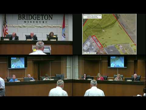
Bridgeton council tables rezoning of roughly 521 acres for expanded fill operations
Summary
The council voted unanimously to table a Clayton Engineering application to rezone about 521 acres from single-family to limited manufacturing; the rezoning would enable expanded fill operations but requires future special-permit and multi-agency reviews.
The Bridgeton City Council on June 4 voted to table an application to rezone roughly 521 acres of property along Missouri Bottom Road from R-1 (single-family dwelling) to M-1 (manufacturing district limited). The motion to table bill number 6495 was made by Council member Luther and seconded by Council member Luke; council members present voted by voice vote in favor, 7-0, with one member absent.
The rezoning application (25-PZ-03), submitted by Clayton Engineering Company Inc., covers parcels including 5137 Abishon Road, 13897 and 14175 Ferguson Lane, 13674, 13728, 13738, 13748, 13774 and part of 13812 Missouri Bottom Road. Planning staff told the council the planning commission recommended approval 11-0 at its May 12 meeting, and the city’s comprehensive plan shows the area as future industrial/utility land use.
City planning staff member Mister Greitens described the parcels as mostly agricultural in the southern portion and wooded floodway in the north, with adjacent industrial and warehouse uses. Greitens said any future development would require separate reviews for stormwater, traffic and other permits by city staff, the Saint Louis County Department of Transportation and other applicable agencies because the site lies in the Missouri Bottom Levee District.
Keith Fryer of Clayton Engineering, the petitioner, told the council the rezoning request is intended to allow continuation and expansion of an existing fill operation immediately west of the parcels. Fryer said the existing, previously approved fill parcel is approaching its final state and the applicant intends future grading phases across the rezoned parcels; he said the fill work aims in part to raise portions of the site to levels outside the 100-year floodplain for insurance purposes.
Council member Suttell asked about a separate county project (the proposed continuation of Route 141) and whether it would affect the area; Greitens said there was no update. Council member Luke asked whether the work was intended to raise the property inside the levee to reduce flood risk; Fryer said the intent is to raise the site to be out of the 100-year floodplain. Greitens emphasized that the rezoning alone would not authorize fill operations: those would require a future special-use permit and technical reviews.
The council’s tabling action pauses formal consideration of the rezoning. Staff noted that agency reviews and any required permits (stormwater, levee-district approval, traffic) must be completed before development of the site; no date was set for when the item will return to the council.
The discussion on the application and the council’s tabling motion do not constitute approval of the rezoning or of any fill permits; they reflect that the council chose to delay final action pending further review or applicant follow-up.