Get Full Government Meeting Transcripts, Videos, & Alerts Forever!
Get email alerts on the Stormwater Master Plan topic
No spam. Unsubscribe anytime.
Riviera Beach outlines $33 million stormwater plan, FEMA-funded vulnerability study under way
Summary
City staff and consultants presented a February 2024 stormwater master plan update and details of an ongoing, FEMA-funded vulnerability assessment that identifies $33 million in capital needs, seawall and sea-level concerns, and potential funding paths including the city's stormwater utility.
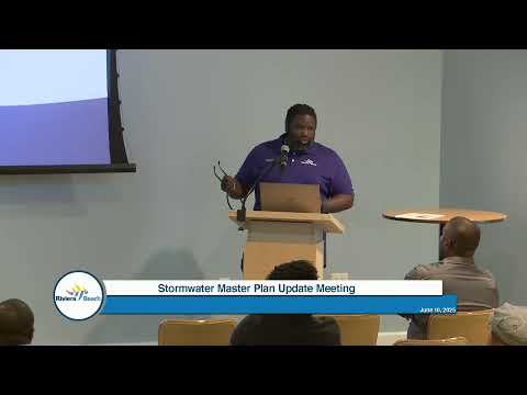
City of Riviera Beach staff and consultants on Wednesday summarized a recently completed stormwater master plan and an ongoing, FEMA-funded vulnerability assessment that the city says will guide future capital work and funding decisions.
City Manager Evans opened the meeting by stressing the stakes. "Stormwater is a critical element in our community," he said, and the presentation that followed laid out where the city's infrastructure is most vulnerable and how much remediation planners estimate it will require.
The master plan update, completed in February 2024, found an incomplete drainage-asset inventory and modeling based on 2007 conditions that needs updating to reflect current land uses and higher precipitation events. Consultants from WSB told the City that the update identified 42 continuing capital-improvement items from the 2007 plan and 14 new items in the 2024 plan, with an estimated total cost of $33,000,000.
"Once we know where the vulnerabilities are and the condition, we can then maximize implementation of our capital dollars," said Terrence Bailey, the city's capital projects manager and city engineer. Bailey described the vulnerability assessment as the next step to test how the system would perform under extreme events such as hurricanes, concurrent high tides, and heavy rainfall.
WSB consultants said the vulnerability assessment began about a year ago and remains in the modeling and exposure-analysis phase; the firm provided an estimated completion date of September 2026. "We're about a year in and with an estimated completion date of next September 2026," consultant Jake Newhall said. The study uses sea-level and precipitation projections from NOAA, the U.S. Army Corps of Engineers and FEMA to simulate compounded scenarios (sea-level rise, tidal impacts and extreme precipitation occurring together) and to map impacts to neighborhoods, evacuation routes and critical facilities such as schools and health-care sites.
Seawalls and sea-level projections were highlighted. Consultants said many existing local seawalls are presently in the roughly 2-to-3.5-foot range and cited data suggesting a need of about 4.7 feet of protection by 2035, with roughly another foot of additional need by 2050. The study will evaluate seawall heights and potential local ordinance language and funding mechanisms.
The consultants also flagged stormwater-design changes: NOAA's updated design storms increase a 100-year, 24-hour rainfall from about 13 inches today to roughly 16 inches in future scenarios, requiring upsized conveyance and storage in some areas. The firm mapped subcatchments that drain to the C-17 Canal and noted tailwater and tidal-control conditions can limit drainage when ocean levels are high.
Consultants proposed several project groups: flood abatement, water-quality improvements (focused at outfalls along the coastline to reduce impacts without taking private property), asset management (a more complete inventory of pipes, catch basins and culverts), and sustainability/resilience measures. Examples included canal widening at specific locations and further culvert analysis at Blue Heron Drive that may require coordination with FDOT.
Finance director Randy Sherman described next steps on funding: the city has a stormwater management utility that covers some maintenance and upgrades, and the FEMA grant paid for the vulnerability assessment. "We will be building a financial model," Sherman said, and city staff will refine project schedules and costs before bringing funding options, including grants, bonding or potential utility fee changes, back to the City Council for consideration.
Staff said an online interactive map and application will be posted on the city website soon to collect resident reports of flooding and drainage problems and to gather local observations to calibrate modeling. Consultants also noted that typical road reconstruction projects can carry an estimated roughly 30% stormwater infrastructure cost as pipe, curbs and drainage are replaced or upsized.
No formal council votes were recorded during the presentation. The actions reported publicly were completion of the stormwater master plan (February 2024) and receipt of FEMA grant funding to support the vulnerability assessment; further funding or fee changes will require subsequent Council consideration.
The city plans more public engagement as the vulnerability assessment proceeds, and the consultants said the final report will include mapping, prioritized mitigation strategies and recommended next steps for local mitigation and funding.