Get Full Government Meeting Transcripts, Videos, & Alerts Forever!
Get email alerts on the Municipal Utility Districts Mud Creation topic
No spam. Unsubscribe anytime.
Council grants consent for Ironwood municipal utility district after neighbor concerns and minor boundary change
Summary
The council approved a resolution consenting to creation of Bastrop County MUD No. 5 (Ironwood) after hearing neighbor concerns about property boundaries and water supply; the developer removed a small parcel from the proposed district and council approved consent 3–1.
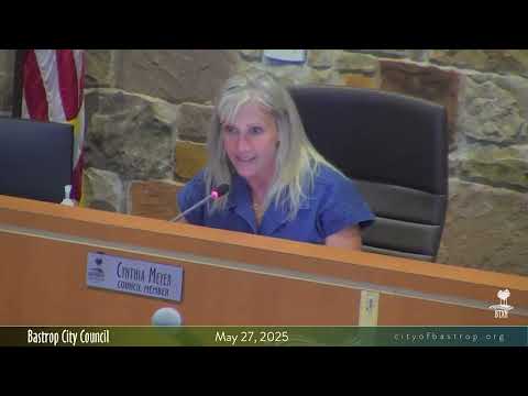
The Bastrop City Council voted 3–1 on May 27 to approve a resolution consenting to the creation of Bastrop County Municipal Utility District No. 5, commonly called the Ironwood development, after a public hearing that included objections and technical questions from adjacent landowners.
City staff described municipal utility districts (MUDs) as state‑authorized special‑purpose districts that finance and provide infrastructure—water, sewer, drainage and roads—for planned developments and noted MUDs are regulated under the Texas Water Code. The council opened a public hearing and heard from multiple nearby property owners who raised concerns about property line accuracy and the project’s water impacts.
“First is an article … the Carrizo‑Wilcox aquifer is very slow recharging,” said Patty Moore, a nearby resident, who urged the council to “deeply consider water” and stated opposition to the proposed MUD because of potential stress on private wells and regional water supply. Moore’s comments were entered as public comment during the hearing.
Neighbors represented by Garland Stillwell, an aide for the Hallcat Trust that owns nearby acreage, told the council they had shared historical surveys and found a potential survey discrepancy where a quadrangle point on the developer’s plat might place a lot line across a neighbor’s fence. Stillwell proposed a condition allowing minor boundary corrections supported by an agreed legal survey, provided such changes did not materially alter acreage or the development plan. “We believe that this is easily solvable. It just takes a little bit further study,” Stillwell said.
The developer’s representative, Lisa Clark of WL|A|N, said there were no residents inside the proposed district and that the developer had already submitted an updated meets‑and‑bounds description to remove 0.164 acres where a fence encroachment had been identified. “It is WB’s intention to be a good land owner, good neighbor, and resolve any of those disputes, which is why we removed that land from the district boundary,” Clark said.
City legal staff told council that minor adjustments to a MUD meets‑and‑bounds description to resolve bona fide boundary disputes can usually be handled without returning to council; notification to the city would be recorded. Council discussion focused on ensuring neighbor outreach and resolution of outstanding survey and encroachment questions before final construction phases.
After discussion the council considered a motion to table the item to the next meeting; that motion failed for lack of a second. A subsequent motion to approve consent to creation of Bastrop County MUD No. 5 passed by a 3–1 vote. Councilmember Foster cast the lone no vote, stating a preference to wait for additional resolution with neighbors.
City staff and the developer stated Aqua Texas (Aqua) will provide water service to the development via pipeline; the city said it had not received information that the developer planned to drill wells. Staff also noted the council must balance contractual development agreements and the city’s statutory role in consenting or declining consent; state law allows alternative creation paths for MUDs via the Texas legislature or state agencies.
The council’s resolution was recorded as Resolution No. R2025‑80. Staff said the developer will continue outreach to adjacent landowners and that staff expects any minor boundary adjustments to be recorded in county records and shared with the city.