Get Full Government Meeting Transcripts, Videos, & Alerts Forever!
Get email alerts on the Wetland Delineation topic
No spam. Unsubscribe anytime.
Commission continues wetland-delineation (ANRAD) for 1031 Randolph Road after neighbors raise vernal-pool and fill concerns
Summary
The commission continued the abbreviated notice of resource area delineation for 1031 Randolph Road to Aug. 18 after neighbors and the applicant’s wetland scientist discussed additional flagged wetlands, historic work on the site, and a previously documented vernal pool.
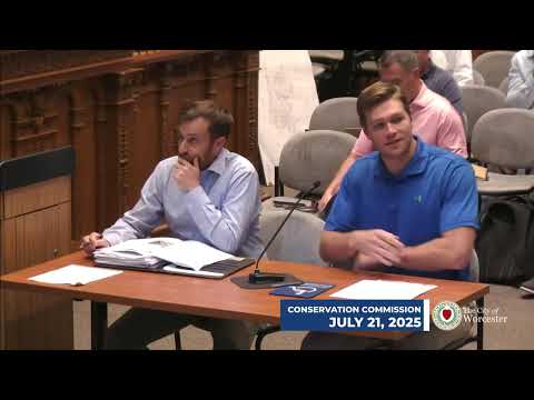
WORCESTER — The Worcester Conservation Commission on July 21 continued the abbreviated notice of resource area delineation (ANRAD) for 1031 Randolph Road to the commission’s Aug. 18 meeting after neighbors raised questions about a previously documented vernal pool and possible topographic changes on the site.
Mary Ann DePinto of 3 Oaks Environmental, the applicant’s wetland scientist, told the commission that the site is complex and that she has worked on it intermittently for three years. DePinto said she refreshed field flagging and plans during a recent site visit, added an additional wetland pocket (H-series flags) that connects to existing G-series wetlands, and would instruct the surveyor to connect several flagged series (D–F to C) on the revised plan. She requested a continuance to supply a revised, stamped plan.
Neighborhood concerns and staff response: Several neighbors spoke at the meeting. Cheryl Mita (30 Randolph Road) told the commission she had a previous vernal-pool documentation packet prepared by an environmental consultant (EBT) dated Oct. 6, 2003, and asked whether that record had been considered. Another neighbor described historic earth mounds and ephemeral-stream changes apparently associated with past fill activity and asked whether the changes had altered wetlands flows.
Staff said the ANRAD filing only addresses delineation of resource-area boundaries; a separate development filing would address excavation, fill, and contamination questions. Staff committed to review prior files and mapping, including any vernal‑pool documentation, before the next hearing.
Outcome: The commission granted the applicant’s requested continuance to Aug. 18 to allow the surveyor to revise plans per staff comments and to give staff time to review prior documentation and topographic changes raised by neighbors. The commission asked the applicant to submit a revised stamped plan that incorporates newly flagged H-series wetlands and the requested connections between flag series.
Speakers: Mary Ann DePinto (3 Oaks Environmental) represented the applicant. Multiple neighbors spoke including Cheryl Mita (30 Randolph Road) and property owners Jim and George Evans, who described a historic “frog pond” and concerns about fill and altered drainage. Steph (staff) noted the commission’s review is limited to delineation.
Next steps: DePinto will have the surveyor update the plan to show additional flags and connectivity and will submit the revised plan for staff review prior to the Aug. 18 hearing. Staff will examine prior files for vernal-pool documentation and recent topographic changes.