Get Full Government Meeting Transcripts, Videos, & Alerts Forever!
Get email alerts on the Subdivision topic
No spam. Unsubscribe anytime.
Planning board reviews Wilson subdivision and 6,400‑sq‑ft site plan on Route 32
Summary
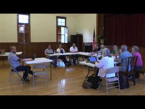
The West Swanzey Planning Board reviewed application KB25, an applicant-submitted plan to subdivide a 3.53‑acre parcel owned by Mike and Tracy Wilson and to construct a 6,400‑square‑foot building with garage bays and associated site work along Route 32.
The West Swanzey Planning Board reviewed application KB25, an applicant-submitted plan to subdivide a 3.53‑acre parcel owned by Mike and Tracy Wilson and to construct a 6,400‑square‑foot building with garage bays and associated site work along Route 32, according to applicant representatives and planning staff.
The matter matters to neighbors and the town because the site plan and subdivision touch wetlands and Martin Brook, involve existing wells and historic easements, and require extensions of municipal water and sewer lines, reviewers said.
Applicant representatives walked the board through a standard completeness checklist. They said proposed Lot 81 would contain about 1.65 acres of contiguous upland and the proposed Lot 2 about 1 acre of contiguous upland. The plan identifies wetlands and shows Martin Brook and an existing culvert and swale that drain toward the nearby airport. "We're not impacting wetland," the applicant representative said when describing grading and building placement. The plan also shows existing site improvements, two proposed curb cuts, two parking areas, and a 6,400‑square‑foot building footprint with garage bays and overhead doors.
Utility plans reviewed at the meeting show a water main extended along Route 32 that the applicant proposes to tap for domestic and fire service, a trench drain in the garage that will discharge to an external oil‑water separator and then to municipal sewer, and a holding tank inside the building for rinse water from fire gear, the application materials show. The applicant said a hydrant stub and ductile iron connection would serve the fire suppression system while the rest of the extension would be C900 plastic pipe.
Reviewers discussed access and safety. The applicant said prior DOT permits associated with a 1999 subdivision require a 400‑foot sight distance on driveways, a requirement that restricts landscaping in the sight triangle so it does not impede visibility. The plan indicates sight‑distance limitations where the driveway meets Route 32.
The board also heard about an historic easement that, from a title standpoint, grants this parcel the right to discharge to a downstream branch and cross the highway; the applicant said that physical discharge across the highway is practically impossible today but that the easement remains on title. In addition, the applicant and land‑use consultant said an older dug well lies within the proposed building footprint; when the site was visited they determined the well would have to be capped because the planned building would compromise the well location.
The architect’s schematics (KCS Architects) show a barn‑style building with garage bays sized to accommodate apparatus, a formal pedestrian entrance, landscaping along the Route 32 frontage, LED full‑cutoff wall packs for lighting, and optional solar panels on the south roof. Construction details and a landscape sheet were included in the submitted plan set.
No formal completeness determination or final vote appears in the provided transcript excerpt. Board members and staff asked technical questions and the applicant said they had discussed reviewer comments with a reviewer named Craig and others; follow‑up items discussed included exact well testing and the feasibility of reusing the older well, final grading details where contours abut wetlands, and verification of stormwater routing to the proposed oil‑water separator and municipal connection.
If the board moves the application forward, outstanding items the transcript identified include final confirmation of well abandonment or reuse, documentation addressing the historic easement and title impacts, final grading and stormwater details near Martin Brook, and any additional conditions needed to meet sight‑distance requirements tied to New Hampshire Department of Transportation permits.
The transcript segment reviewed did not record a final decision, motions, or votes on this application.