Get Full Government Meeting Transcripts, Videos, & Alerts Forever!
Get email alerts on the Transportation Safety topic
No spam. Unsubscribe anytime.
Miami Lakes residents urged to map unsafe sidewalks as city launches Vision Zero study
Summary
A transportation staff member asked Auxiliary Affairs Committee members to help map sidewalks, crossings and other locations for a citywide Vision Zero safety study and to join workshops and outreach this summer and fall.
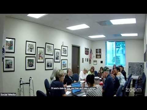
Justin Susana, a transportation and planning department staff member, told members of the Auxiliary Affairs Committee that the town is launching a Vision Zero task force and a citywide safety study and asked residents and committee members to help identify unsafe streets, sidewalks and crossings.
“Your perspective as users of our systems … is invaluable to me,” Susana told the committee, asking people to drop pins on an online map or use a postcard QR code to report locations where they “don’t feel safe.” He said the project is designed to change the way the town and outside agencies prioritize safety when reviewing road and sidewalk designs.
Susana described the project as a large study that will combine crash and state data with resident reports to make safety-based recommendations that can be shown to county and state agencies and to funding partners. He said the study will give the town technical backing when it requests changes to road designs from the Florida Department of Transportation, the county and regional planning organizations.
The staff member said consultants are recruiting information now and will begin drafting recommendations this year. He encouraged committee members to attend workshops and community events where project staff will collect input and said the team will host at least one workshop in late summer; a date of Aug. 31 was mentioned during the meeting.
Susana provided paper postcards with a QR code that links to a map where residents can drop pins and add comments. He offered to accept emailed reports for residents who need help submitting locations.
Committee members asked whether the outreach is intended to capture the perspectives of all users, including people who are elderly or use mobility devices; Susana said the project seeks “every viewpoint” and specifically asked for input from people with different life experiences and travel habits so consultants can document a broad range of safety concerns.
How to participate: project postcards with a QR code will be distributed at committee events and public workshops; residents may also email the transportation staff to report locations for the map.