Get Full Government Meeting Transcripts, Videos, & Alerts Forever!
Get email alerts on the Parks And Trails topic
No spam. Unsubscribe anytime.
St. Helens officials weigh boundaries for proposed Woodland Reserve along Milton Creek
Summary
City planning and parks officials discussed a proposed Woodland Reserve on city-owned parcels near Milton Creek, debating trade-offs between preserving camas meadow and keeping some land available for industrial use; next step: use updated topographic data to define firm boundaries before pursuing formal protection.
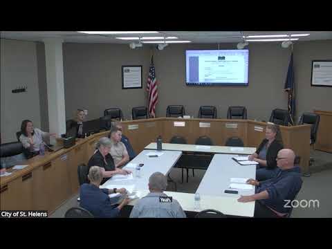
City of St. Helens planning commissioners, councilors and parks volunteers spent the bulk of a June 11 joint meeting discussing a proposal to set aside city-owned land along Milton Creek as a low‑maintenance Woodland Reserve while balancing future industrial needs.
The proposal grew from a parks commission concept presented in December and has been refined in staff meetings since March. Daniel April, chair of the Landmarks and Trails Commission, said preserving the site is urgent because nearby parcels are under development pressure and the area contains unique native flora. “The timeliness of preserving the location is paramount,” April said.
Scott Jacobson, a city planning staff member, told the group the city’s recent Economic Opportunities Analysis (EOA) shows St. Helens has about 243 buildable industrial acres and a 20‑year need of roughly 29 acres — a surplus of about 214 acres. “The question we have to ask ourselves,” Jacobson said, “is is this prime industrial land or not?” He listed factors that could make parts of the property attractive for industry — proximity to utilities, a planned PGE substation and a rail bridge — and said the parcelization map presented was conceptual rather than fixed.
Speakers described three study areas on the property. Area 3 contains a significant stand of camas meadow and other rare plants that several participants said are uncommon in the region; one participant noted a nearby 1400 Road parcel is about 8.6 acres for scale. Parks and trails members urged protecting those ecological features and the old quarry remnants on site. Others, including several council members and a planning commissioner, urged keeping some developable acreage near the planned electrical substation and utilities so future industrial tenants can locate within the city and help fund public amenities.
Representatives of the Port and staff present said Project Arcadia — a separate private proposal to reuse the old Boise Mill property — is delayed by DEQ pollution issues, and PGE has not yet decided whether it will proceed with the substation parcel; Jacobson described the PGE decision as “months away.” Port staff also indicated they would consider granting a trail easement on the port‑owned side of the creek to support a continuous river trail.
Participants repeatedly emphasized that the parcel maps were conceptual. Several speakers recommended using updated topographic and LiDAR data to draw a defensible, legally describable boundary that avoids high‑quality riparian wetlands and other sensitive features while identifying the least‑constrained land for potential industrial use. Lucas Green and other parks volunteers offered to help identify the parts of Area 3 that have the greatest ecological value.
No formal council vote or rezoning action occurred at the meeting. The explicit next step, requested by parks commissioners and discussed with staff, is to use the city’s topo/LiDAR data to refine the proposed boundary, then return to a public meeting with a recommended legal description and options for preservation mechanisms (easement, rezone, parcelization or other tools). Daniel April said such a delineation is necessary before the parks commission can seek an official set‑aside: “If everyone else is okay and agrees to, for the most part, the rest of the red border, then that’s easy and good to go.”
Councilors and planning staff also discussed practical design issues for any future reserve: low‑maintenance trails, minimal infrastructure (trash cans, dog stations, seasonal or ADA routes near the rec center), and parking or visitor amenities co‑located with existing facilities. Several speakers noted archaeological and tribal consultation considerations if the city pursues ground‑disturbing work; one attendee urged the group to consult tribal resources and stop work if cultural artifacts are found.
The meeting closed this topic with consensus to refine maps using the topo data and for parks staff and commissioners to continue field visits at different seasons (notably the camas bloom in spring) before the city advances any formal preservation measure.