Get Full Government Meeting Transcripts, Videos, & Alerts Forever!
Get email alerts on the Right Of Way Abandonment topic
No spam. Unsubscribe anytime.
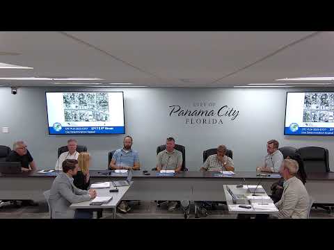
Planning board approves vacation of alleyway, 22-foot strip near East Second Court after title questions
Summary
The board approved abandonment of an 8-foot platted alley and a 22-foot city strip near East Second Court for property owned by Ronald and Dorothy Hamlin, but residents raised concerns about unclear property lines and the need for surveys.
The Panama City Planning Board voted 5-0 to approve a request to vacate an 8-foot platted alley and a 22-foot strip of city-owned land south of East Second Court between Sherman Avenue and Main Avenue, a parcel associated with Ronald and Dorothy Hamlin.
Planning staff said the city does not retain utilities or infrastructure in the strip and described the request as part of a broader cleanup of unused right-of-way. The applicant’s representative, Denise Rowan, said the city had determined it had no use for the right-of-way and that her client sought abandonment so title could be clarified.
Nearby property owners raised concerns about how the abandonment would affect access and property boundaries. One neighbor, who identified himself with an address on Main Avenue, said the alley provides occasional access to the rear of his property for heavy trucks and that he relies on that back gate for large deliveries. Another speaker who identified his address as 218 South Cove Lane said legal descriptions and past surveys show discrepancies and argued the 22-foot strip historically was depicted as coming off his property.
Planning staff and Board discussion clarified that when a municipality abandons a right-of-way, the underlying land typically is divided among abutting property owners by operation of law. Board discussion noted that an abandonment does not itself create or resolve title disputes; property owners would need to obtain surveys and coordinate deeds to confirm precise boundaries. Staff also said there were no utilities such as water, sewer or Comcast facilities within the right-of-way under consideration.
Several neighbors asked who would bear the cost of surveys and how the split would be carried out; staff stated that deed and survey work would be a matter for the property owners once the city vacated the right-of-way. The board approved the abandonment by roll call vote 5-0. Staff recorded that the city’s abandonment would effectively operate like a quitclaim instrument returning the land to adjacent owners and that any remaining disputes about the precise location would be resolved privately with surveys and title work.
The transcript records that the abandonment was part of a batch of right-of-way cleanups the city had previously processed and that adjacent property owners and applicants would be responsible for any subsequent survey or deed work required to formalize ownership.