County staff briefs change to Light Industrial Planned at County Road 579 site
Get AI-powered insights, summaries, and transcripts
Subscribe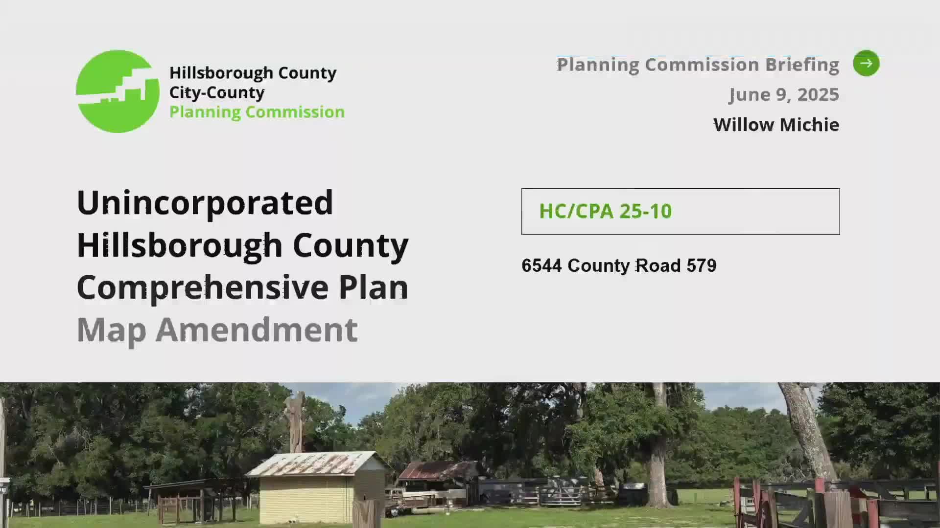
Summary
Planning Commission staff briefed HCCPA 25‑10, a proposed small‑scale map amendment to change six parcels (approx. 15.64 acres) at 6544 County Road 579 from RES‑1/RES‑4 to Light Industrial Planned (LIP); staff said the change would shift potential residential capacity to industrial/commercial uses and increase nonresidential floor‑area potential.
Hillsborough County Planning Commission staff on June 11 briefed commissioners on a privately initiated small‑scale map amendment (HCCPA 25‑10) to change six parcels totaling about 15.64 acres at 6544 County Road 579 from low‑density residential designations (RES‑1 and RES‑4) to Light Industrial Planned (LIP).
"The request is to change the land use designation of these parcels from residential 1 and residential 4 to light industrial planned," said Willa Micky, Planning Commission staff. Micky said the site lies in the rural area within the limits of the Tonodasassa Community Plan and is north of West Brul Road, west of Mango Road and south of Davis Pond Road. She noted a parcel immediately east of the site was recently adopted to LIP under a prior amendment (HCCPA 24‑26).
Under current RES‑1/RES‑4 designations staff said the parcels could be considered for up to 47 dwelling units and roughly 170,319 square feet of nonresidential uses. Changing to LIP would eliminate residential consideration and allow up to approximately 510,958 square feet of nonresidential uses, including light industrial, processing, manufacturing, recycling, storage, support offices and warehousing.
Micky also noted mapped coastal high hazard areas in the vicinity. Commissioners asked clarifying questions about prior adjacent map changes; staff confirmed a neighboring parcel had been adopted to LIP in a previous cycle. The briefing closed with no public speakers registered on the item; staff did not recommend a final action at this meeting and scheduled the amendment for the July public hearing.