Get Full Government Meeting Transcripts, Videos, & Alerts Forever!
Boone County hears first look at 3‑D geologic mapping; watershed plans targeted for grant eligibility
Summary
County water‑resources staff updated the Committee of the Whole on preliminary three‑dimensional geologic mapping, seismic profiling and additional USGS‑funded borings; staff said watershed plans will be prioritized to increase competitiveness for state and federal grants.
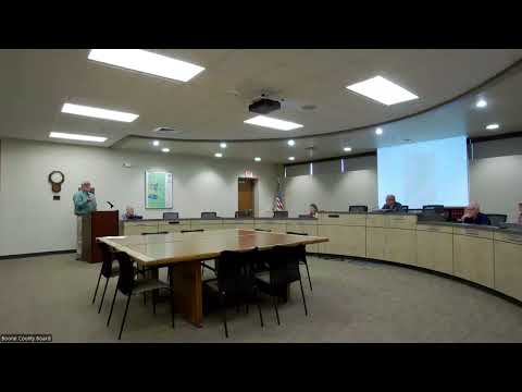
Boone County officials on Thursday received an update on an ongoing three‑dimensional geologic mapping project and related watershed planning that staff said will help the county prioritize future water‑supply protection and competitive grant applications.
The mapping “is a layer between 60 and 70 meters below the ground surface,” Dan Kane, presenting for the county’s Water Resource Program, told the Committee of the Whole. Kane said the project will produce multiple stacked layers from the surface down to about 1,000 feet and that the Troy Bedrock Valley shows a likely pathway for groundwater recharge.
Kane said geophysics work will include seismic profiles—“they essentially send a sound signal through the ground and then…
Already have an account? Log in
Subscribe to keep reading
Unlock the rest of this article — and every article on Citizen Portal.
- Unlimited articles
- AI-powered breakdowns of topics, speakers, decisions, and budgets
- Instant alerts when your location has a new meeting
- Follow topics and more locations
- 1,000 AI Insights / month, plus AI Chat