Get Full Government Meeting Transcripts, Videos, & Alerts Forever!
Get email alerts on the Flooding Resilience topic
No spam. Unsubscribe anytime.
Opa-locka holds public workshop on flood vulnerability assessment, outlines timeline and funding paths
Summary
Consultant Stantec presented a state-funded vulnerability assessment for the City of Opa-locka, describing the study scope, statutory timeframes and next steps; commissioners and residents pressed for action on chronic flooding at several neighborhoods and commercial sites.
City of Opa-locka officials and residents attended a public workshop where Stantec project manager Diane Quigley presented a resilience-focused vulnerability assessment funded through the Resilient Florida grant administered by the Florida Department of Environmental Protection.
Quigley said the assessment will identify city-owned critical assets vulnerable to flooding now and under future scenarios, and that the study will use climate projections through mid-century (2050) and 2080 as required by state statute. "It is the data and analysis where we look at what parts of the city are prone to flooding," Quigley said, adding the work is intended to position the city for state and federal capital funding.
The nut of the presentation: map public assets, run an exposure analysis that overlays rainfall and sea-level projections on elevation data, rate sensitivity of assets (for example, lift stations vs. parks), and produce conceptual adaptation strategies. Quigley said those strategies will remain conceptual; design work would come later if the city pursues specific projects or grants.
Commissioners and residents pressed for detail on chronic flood sites and on how the assessment will lead to on-the-ground work. Commissioner Irvin noted repeated flooding at a location she described as long-standing and asked whether the assessment will identify causes and corrective options; Quigley replied that the study will recommend conceptual solutions that staff could later develop into designs and funding applications.
Commissioner Santiago and other speakers raised repeated concerns about flooding at streets and neighborhoods including the area near Lejeune Road and Northwest 130th Street (variously referenced in the workshop materials), Ingram Terrace, Mary Alice Brown and sections between 27th and 30th Avenues. Business and property impacts also drew attention: participants named Glorietta Apartments, Chavez Market and the Price Choice grocery (the former Winn-Dixie site), and a corner restaurant identified as Romo/"Grama Place," saying heavy rain has forced temporary closures.
City staff said some improvements have already reduced local flooding in specific places but that Lejeune Road's elevation relative to neighboring streets and county or state-owned rights-of-way complicate flows. Staff explained emergency pumps can be used but discharges must go to an approved location (staff cited Black Point as the nearest allowable discharge point), and unauthorized discharges can trigger fines from county or state regulators.
Quigley and staff outlined the project schedule: data collection and a stakeholder review are expected in the next month or two; an exposure-and-sensitivity analysis is planned for June–October; a second public workshop is planned for fall 2025; and the final vulnerability assessment report is scheduled to be complete by April 2026 for city adoption. Quigley also noted the Resilient Florida implementation grant cycle opens July 1 and closes Sept. 1 and urged the city to consider submitting capital projects that demonstrate existing flooding and links to the assessment.
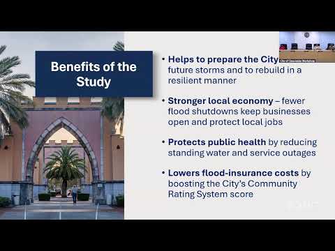
Officials said the assessment and its integration into the city’s Local Mitigation Strategy and Community Rating System (CRS) work could reduce National Flood Insurance Program premiums over time; Quigley described potential CRS reductions of roughly 10–25 percent depending on points earned and the city’s eventual CRS class. Staff also promised to post workshop materials and comment cards on the city website and to provide an online form and app link for residents to report flooding.
The session closed with staff noting that the City will present a separate item at the next council meeting seeking planning and design funds for a larger section that includes 27th–30th Avenues and nearby streets; that presentation was described as the next step toward design and construction funding. No formal motions or votes were recorded during the workshop.