Get Full Government Meeting Transcripts, Videos, & Alerts Forever!
Get email alerts on the Rezoning topic
No spam. Unsubscribe anytime.
Ingleside planning panel approves rezoning of about 299.8 acres along Highway 361 to industrial
Summary
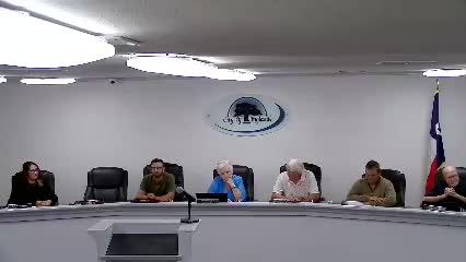
The City of Ingleside Planning and Zoning Commission voted to recommend rezoning about 299.77 acres at Highway 361 and Avenue B from R‑1 (single‑family) to I (industrial) after a 4‑2 vote, following staff analysis that the change aligns with the city’s comprehensive plan.
The City of Ingleside Planning and Zoning Commission voted to recommend rezoning about 299.77 acres generally located at Highway 361 and Avenue B from R‑1 (single‑family residential) to I (industrial) after a 4‑2 vote at a commission meeting. Staff told the commission the change is consistent with the city’s comprehensive plan and future land use map.
Bernard Lellegas, director of development services, told the commission the combined site totals 299.777 acres made up of an 89.75‑acre tract and a 210.02‑acre tract and that the city initiated the rezoning as part of a systematic review of annexed parcels. “Staff is recommending approval,” Lellegas said during his presentation.
The rezoning drew one public comment. Beverly Matthews of 2521 Avenue B said she lives one house and a street from the area and raised two concerns: a 3.37‑acre discrepancy she said she found when totaling the parcel figures and the proximity of industrial uses to residences and a nearby school. “I don’t like it so close to the residential and the school,” Matthews said. She also asked whether the rezoning was for a single company or a broader city effort and whether State Highway 200 improvements would move traffic away from residential streets.
Lellegas responded that the rezoning was city‑initiated under the city code for annexed territory and that staff mailed a public‑hearing notice to 66 property owners within a 400‑foot radius in May 2025 and published notice in the Ingleside Index that month; no written comments were on file when the staff report was prepared. He said annexed areas are temporarily classified R‑1 until permanently zoned and that the commission’s recommendation is part of the normal process of aligning zoning with the future land use map. Lellegas noted the city code language referenced during the meeting as section 78.119 (annexed area temporary classification).
Commission discussion addressed buffering and vetting. Lellegas said that if a proposed industrial use requires special conditions—examples discussed included a tank farm—those uses would trigger a special‑use permit and additional vetting; staff would recommend buffers and review specific applications when they are submitted. He also said the city removed a separate “heavy industrial” district from its ordinance, so properties shown as heavy industrial on the future land use map will be recommended to the single industrial district in the city code.
A roll call following the motion recorded four votes in favor — Commission member Brogan, Commission member Long, Commission member Trevino and Commission member Crumbley — and two votes against — Commission member Connor Brown and Chairman Wilson; Commission member Lopez was absent. The commission’s favorable recommendation will be part of the official record and, as staff noted, is the step that precedes consideration by the city council.
Clarifying details provided at the meeting included the parcel breakdown (89.75 acres and 210.02 acres), the total cited acreage (299.777 acres), the staff notice to 66 property owners within a 400‑foot radius (May 2025), and that the annexation of the general area was referenced by staff as recorded in the city’s records (staff gave two dates while speaking: 1998 and, later, 1990). Specific potential industrial uses would be reviewed later by staff and the commission under the city code and by applicable special‑use permitting processes.
The commission approved the rezoning motion by majority vote; the item was presented as a city‑initiated rezoning to align the zoning map with the comprehensive plan and future land use map. The commission’s recommendation will be transmitted to the city council for the next step in the statutory zoning process.