Get Full Government Meeting Transcripts, Videos, & Alerts Forever!
Get email alerts on the Floodplain Zoning topic
No spam. Unsubscribe anytime.
Peabody planning board recommends city council adopt updated flood‑plain and wetlands zoning language
Summary
The Peabody Planning Board voted unanimously June 5 to recommend that the City Council adopt amendments to Section 8 of the zoning ordinance to align the city with updated FEMA flood maps and a state model ordinance; the change was sent to a City Council public hearing and, if adopted, will be forwarded to FEMA for final review.
The Peabody Planning Board on June 5 voted to recommend that the City Council adopt amendments to Section 8 of the zoning ordinance establishing an updated Flood‑Plain Overlay District and revised Wetlands Conservancy District language.
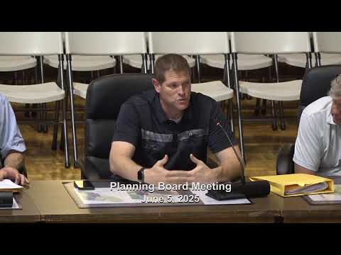
The recommendation follows a presentation by Kirk Ellevance, Community Development Director for the City of Peabody, who said the changes are intended to bring the city's zoning into compliance with updated FEMA flood maps and a state model ordinance. "Some of the benefits, to participating in the National Flood Insurance Program is that it allows our residents to get government backed in flood insurance," Ellevance said.
The proposed ordinance preserves the existing purpose and applicability of Section 8 but adds defined terms and language drawn from the state model. Ellevance told the board the Division of Conservation Resources reviewed the city's draft and that the city incorporated most of the state's wording; additional required sections include a variances section, abrogation and greater restriction language, disclaimer of liability, and severability.
Ellevance said FEMA had told the city there were no significant map changes across Essex County but noted a few local differences, including that 143 Lynnfield Street was newly mapped into a significant floodplain and some minor expansions near Parsons and Procter Circle. He said the city finalized a draft with the state in mid‑April and that the City Council scheduled its public hearing for June 26. If the Council adopts the ordinance, the language will be sent to FEMA, which must issue a letter of final determination before the changes take effect.
The planning board chair asked for public comment; none was offered at the meeting. A motion to recommend adoption was made and carried on a roll call vote with all members present voting yes. The board recorded the roll call: Dennis Feld, John Ford, Roy Simos, Peter Arvanites, Judith Otto, Joseph Gagnon, Matthew Ginzali and Thomas Bettencourt all voted in the affirmative.
If the City Council approves the changes and FEMA issues its final determination, the updated map date the ordinance will reference is July 8 (the date the new maps were issued), per the city's presentation. Ellevance said the city expects to receive FEMA's final determination in about a month.