Get Full Government Meeting Transcripts, Videos, & Alerts Forever!
Get email alerts on the Land Use topic
No spam. Unsubscribe anytime.
Powhatan planning commission backs Highway Corridor Overlay for US Route 60, 4-1
Summary
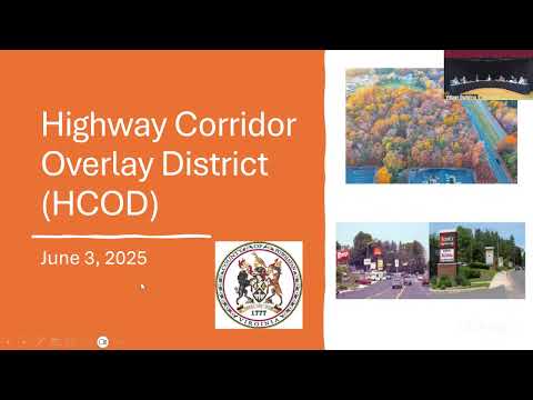
The Powhatan County Planning Commission voted 4-1 to recommend a zoning amendment establishing a Highway Corridor Overlay District (HCOD) along U.S. Route 60 that sets new setbacks, signage, landscaping and access-management standards for development along the corridor.
Powhatan County Planning Commission recommended approval of a Highway Corridor Overlay District for U.S. Route 60 in a 4-1 vote, a measure planners say is designed to shape how commercial and industrial development looks and connects to the county’s main east–west thoroughfare.
The proposal would apply an overlay along both sides of U.S. Route 60, using a “future VDOT right-of-way” measured at 100 feet from the road centerline as the reference point and extending roughly 400 feet from the edge of that right-of-way. The overlay creates five sequential zones from the road toward new buildings, establishes a monument-only signage requirement, sets standards for landscaping, and encourages shared access to reduce curb cuts on Route 60.
Ligon Webb, Powhatan County director of planning, told the commission the overlay is “designed to enhance the appearance, safety, and function of major transportation corridors in Powhatan County” and that the standards aim to make development “visually cohesive, well buffered, maintained, and safe.” Webb described the zones as including an easement zone (24 feet for utilities/drainage), a monument zone for signage and landscaping, a connection zone (minimum 47 feet accommodating one row of parking, a 26-foot drive aisle and a 20-foot deep parking bay), and a building zone with additional setback/height relationships.
During public comment, resident Woody Colfer asked whether setbacks and measurements would use the existing right-of-way or the “future” 100-foot right-of-way; commissioners and staff discussed that Route 60’s existing right-of-way is uneven (97 feet on one side, 103 on the other) and that the ordinance measures setbacks from the future right-of-way. David Anderson, a Powhatan resident, praised the commission’s deliberations but asked for clarity about how much discretion the planning director would have to approve site-specific deviations; commissioners and staff said the ordinance includes provisions for administrative modifications by the planning director for site constraints and requires planning commission review if a requested modification exceeds director authority.
The ordinance would prohibit pole or pylon signs and allow only monument-style freestanding signs in the monument zone outside the VDOT right-of-way, require preservation of existing trees where possible, and refer commercial entrance design to a traffic-impact analysis reviewed by VDOT when appropriate. The planning director explained that some flexibility is built in: “The ordinances allow for some flexibility...the planning director can approve certain modifications,” but major deviations would be referred to the commission.
Commissioners debated the overlay’s effect on existing nonconforming sites. Staff clarified that ordinary repainting of a building would not trigger the overlay standards but that expansions, certain exterior alterations, or projects requiring site plan or building permits would need to incorporate HCOD standards “to the greatest extent practicable.”
After discussion, Commissioner Boland cast the lone dissent; Commissioners Hall, Winnall, Hughes and Hatcher voted to recommend the zoning amendment to the Board of Supervisors. The commission’s motion reads in part: “I move to recommend approval of the proposed zoning ordinance amendment to establish a Highway Corridor Overlay District along U.S. Route 60 as presented.”
If adopted by the Board of Supervisors, the HCOD would be implemented through the county zoning ordinance; staff said many standards are intended as long-term measures and that visible corridor changes would accumulate over years as redevelopment or new development occurs.