Get Full Government Meeting Transcripts, Videos, & Alerts Forever!
Get email alerts on the Land Use Subdivision topic
No spam. Unsubscribe anytime.
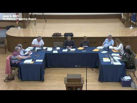
Planning board approves four‑lot Pleasant Valley subdivision; waivers granted
Summary
The Wolfeboro Planning Board accepted and approved a four-lot subdivision application for land on Pleasant Valley Road, granting requested waivers and accepting state subdivision approval documentation; one abutter raised wetland concerns during public comment.
The Wolfeboro Planning Board voted to approve a four-lot subdivision proposal on Pleasant Valley Road (tax map 245‑021), following the applicant’s presentation and public comment from a neighboring property owner who questioned wetland mapping and site conditions.
Jim Rines of Horizons Engineering presented the application on behalf of the proposed owners. He described the parcel as roughly 67.16 acres in general residential and wetland conservation zones, with individual proposed lot sizes ranging from 2.39 acres to more than 51 acres for the remaining land. Rines said the team delineated wetlands across the parcel and supplied state subdivision approvals and test-pit data to the board.
Board action and waivers: The board granted the applicant’s requested waivers (including a waiver related to lot-sizing by soil mapping and form-factor calculations) and accepted the application as complete. One board member noted the plan shows building envelopes and 4,000-square-foot septic test areas, and the board required final engineering and plat details before plan signing and recording.
Public comment: Abutter Robert McGinnis said portions of the property behind his home have historically been wet and expressed concern about fill and changes to wetland hydrology. The applicant and consulting engineer said a certified wetland scientist conducted the delineation and that wet areas were mapped in natural ground; they also noted several upland building envelopes exist inside the lots proposed.
Conditions and next steps: Approval included standard conditions — recording of the final plat within six months, submission of signed mylar plans and monuments, a required wetlands monumentation plan with certified-wetland-scientist stamp, and payment of recording fees. One board member opposed the waiver regarding scenic-road processes; the board recorded votes and required the applicant to submit final plan sets (electronic and paper) and to comply with any wetland crossing permits if future access to the larger remaining parcel is proposed.
Why it matters: The subdivision creates three buildable residential lots and one large remaining parcel. The board’s approval included measures intended to preserve delineated wetlands and to ensure future driveway and septic permitting for any development in the remaining tract.
What’s next: The applicant must submit signed final plans, provide monuments and certifications, and record the plan at the Carroll County Registry of Deeds within the timeframe stated in the approval.