Get Full Government Meeting Transcripts, Videos, & Alerts Forever!
Get email alerts on the Wildfire Fireworks Policy topic
No spam. Unsubscribe anytime.
Fruit Heights council reviews wildfire interface map and fireworks boundary amid insurance concerns
Summary
Councilors discussed whether to change the city’s fireworks-allowed zone tied to the wildfire interface after residents reported insurance changes; councilors directed staff to note the discussion in upcoming reports and largely favored keeping the current map.
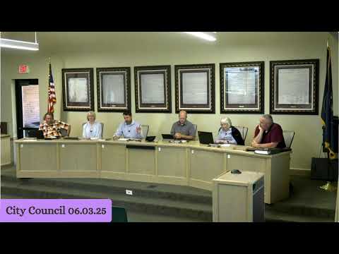
Fruit Heights City Councilors reviewed the city’s wildfire interface map and the boundary that governs where consumer fireworks are permitted, amid recent property insurance denials for some residents.
Staff reported changes to wildfire interface designations and said the city participates in a wildfire insurance program (described in the meeting as the QED wildfire insurance program). Councilors and residents described that insurance carriers have recently denied or withdrawn coverage for some properties because the wildfire-interface area grew. Council emergency-preparedness participant Eric said he favored prohibiting fireworks east of State Route 89.
Council discussion focused on balancing public safety and clarity for residents. Some councilors said the current boundary has been understood by the community for years and that changing it could cause confusion; others urged conservative boundaries where wildfire risk is higher. Staff said they would document the council discussion about wildfire boundaries and fireworks in the city’s upcoming reports to insurers and in wildfire-preparedness outreach.
The council did not adopt an immediate boundary change; staff will include the discussion in required wildfire and insurance reports and return with any recommended ordinance changes if necessary.