Get Full Government Meeting Transcripts, Videos, & Alerts Forever!
Get email alerts on the Land Use Eastern Overlay topic
No spam. Unsubscribe anytime.
Lexington County committee agrees to refine Eastern Overlay, create municipal overlay for Town of Lexington growth area
Summary
Lexington County planning committee instructed staff to draft a new municipal overlay around the Town of Lexington's future growth area, update associated zoning and development manuals, and explore targeted transportation and height controls to protect Lake Murray and key waterways.
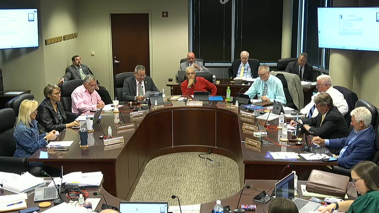
Lexington County's Planning Committee directed staff on Wednesday to develop a new overlay for the Town of Lexington's future growth area and to return with a coordinated set of map and text amendments for the Eastern Overlay District.
The committee, led by Mr. Cockrell, voted to ask staff to refine the Eastern Overlay map to exclude the town's future growth area, draft a municipal (Town of Lexington) overlay and prepare related text amendments to the zoning ordinance, the landscape and open-space ordinance, and the land development manual.
The move followed a lengthy presentation by Robbie Derek, director of community development, and Walt McPherson, zoning administrator, on a modified map that would pull the overlay back to Interstate 20 and preserve the town's designated growth area. Derek told the committee the county had met with the town and that town officials were "good with it," and staff recommended preparing a single, consolidated amendment package ahead of the next meeting.
Councilman Hudson and several other members stressed protecting the Lake Murray shoreline and nearby riverfront neighborhoods. Hudson asked that the county consider explicit height restrictions and limits on mass grading in the Coley Mill/Ponymill/Corley Mill area and suggested the overlay should include transportation standards, such as when a traffic impact study (TIS) would be required.
Staff told the committee that state public-notice rules require 15 days' notice for public hearings on zoning, landscape and open-space text amendments and 30 days for land development manual amendments. To meet those timelines, staff recommended preparing the text for committee review and seeking public hearings; the group also discussed using a pending-ordinance approach to place interim protections while the formal amendments proceed.
Committee members asked staff to produce a map-based representation of the comprehensive-plan land-use categories and a short, plain-language summary of each overlay color and associated standards to aid public understanding. Derek said staff would work with Council members Bishop and Fisher to resolve outstanding map questions and return with draft ordinance language and a map by the next committee meeting, aiming to get a first reading on the council agenda.
The committee's direction emphasized: (1) create a municipal overlay specifically for the Town of Lexington's future growth area, (2) incorporate Lake Murray height and open-space protections, and (3) include targeted transportation/TIS requirements for areas where growth will intensify. Staff also recommended considering a written intergovernmental agreement with the Town of Lexington to memorialize existing informal practices where town utilities serve adjacent county parcels.
If adopted, the overlay would change how development proposals are reviewed within the town's growth band, including adding explicit access-point standards and transportation review triggers; staff said the changes could be countywide in the land development manual where appropriate.
The committee did not vote on a final ordinance. Instead, it gave staff direction to draft the text and map changes for formal consideration at an upcoming council meeting.