Get Full Government Meeting Transcripts, Videos, & Alerts Forever!
Get email alerts on the Transportation topic
No spam. Unsubscribe anytime.
Orinda planning commission recommends reclassifying Wilder Road as a collector to enable federal funding
Summary
The Orinda Planning Commission on May 27 recommended the City Council amend the general plan to reclassify Wilder Road from a local road to a collector road, a change staff says is necessary to align local plans with Caltrans maps and to pursue federal maintenance funds.
The Orinda Planning Commission on May 27 voted unanimously to recommend that the City Council amend the City of Orinda general plan to reclassify Wilder Road from a local road to a collector road.
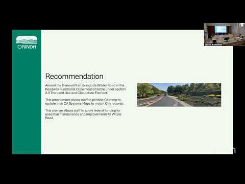
The change, presented by Johanna Johnson, assistant engineer in the Public Works Department, is intended to align the city's roadway functional classification table with the 1994 Gateway Valley development agreement and related Wilder community plans and to allow the city to petition Caltrans’ California Road System (CRS) maps so Wilder Road becomes eligible for federal aid for construction, maintenance and operations.
Johnson told commissioners Wilder Road serves the Gateway Valley community that was planned under a 1994 agreement with Orinda Gateway and “meanders through the Wilder community to funnel traffic between Highway 24 and local residential roads at speeds between 25 to 55 miles per hour within its 12 foot wide lanes.” She said the roughly 1.65-mile roadway provides access to about 245 homes, five ball fields, an art and garden center, trails and about 1,300 acres of open space, and carries about 3,500 vehicles daily — characteristics staff said meet collector-road design criteria.
Staff noted the city’s current general plan and the CRS maps are not in agreement: the CRS map currently mirrors the general plan and lists Wilder Road as a local road, while the Gateway Valley development agreement, the Wilder design review handbook and the Wilder Phase 1 subdivision map (9074) reflect Wilder Road as a collector. Johnson said that, if the general plan amendment is adopted by the City Council, staff would then petition Caltrans to update the CRS map and be able to apply federal funding toward Wilder Road maintenance. “This minor general plan amendment will then allow staff to petition Caltrans to reflect Wilder Road as a collective road in the CRS map and inevitably allow staff to apply federal funding towards Wilder Road maintenance,” Johnson said.
Commissioners asked staff about secondary effects of the reclassification. Staff replied the classification can affect what traffic mitigation measures are permissible and that the classification would cover curb-to-curb features including sidewalks. A commissioner clarified that the commission’s action is a recommendation to the City Council, not a final adoption; the commission then voted to recommend adoption of Resolution PC25-04 to reclassify Wilder Road.
The motion to recommend the general plan amendment and adopt Resolution PC25-04 passed by unanimous roll call vote. The commission chair read appeal rights after the vote, noting a decision by the planning commission is final unless a written notice of appeal is submitted to the planning department within 10 calendar days during normal business hours with the appropriate fee, and that court challenges may be limited to issues raised at the hearing or in writing prior to it under Code of Civil Procedure section 1094.6.
The commission’s recommendation now goes to the Orinda City Council for final action; staff indicated that, if the council approves the amendment, the next administrative step would be to petition Caltrans to update the CRS map so Wilder Road can be eligible for federal-aid funding for maintenance and improvements.