Planning commission approves four-lot vesting tentative parcel map on Techalote Road
Get AI-powered insights, summaries, and transcripts
Subscribe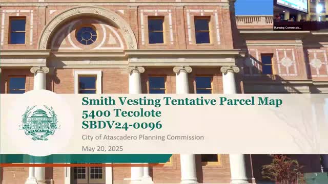
Summary
The Atascadero City Planning Commission voted 6-0 to adopt a negative declaration and approve a four-lot vesting tentative parcel map on a 21.4-acre site at 5400 Techalote Road.
The Atascadero City Planning Commission voted 6-0 to adopt a negative declaration under CEQA and approve a vesting tentative parcel map that divides a 21.4-acre parcel at 5400 Techalote Road into four lots.
Planning staff described the application, project SEDV2496 (referred to in materials as vesting tentative parcel map 24-0047 / SBDV24-0096), and recommended adoption of Environmental Document No. 20250001 and approval of the map with modified conditions. "This is the Smith vesting tentative parcel map. It is located at 5400 Techalote Road," planning staff said during the presentation.
The map creates four lots ranging from about 4.2 to 6.4 acres. Staff said the minimum parcel size for this area — determined by a formula that accounts for distance from city center, septic feasibility, access and topography — was 3.2 acres for this project, so the proposed lots exceed the required minimum. Because of steep topography (staff cited an average slope of roughly 27 percent), the applicant provided building envelopes showing areas with slopes of 20 percent or less where future houses would be expected to locate.
Brent Keast, a resident on Llano Road, spoke in opposition during public comment, citing evacuation and wildfire concerns, traffic impacts, and potential hillside instability if vegetation and trees were removed. "There's only one evacuation road out of there," Keast told the commission, adding that the parcels share limited cell coverage and that he was worried about emergency communications and habitat disruption.
The applicant, Eric Smith, a 40-year resident and the property owner/applicant, replied that "there will be absolutely 0 tree removal on this project." He and project engineer Matthew Moore of Civil Design Studio were available to answer technical questions. Moore told the commission that future grading and building permits will be required to demonstrate no net increase in runoff and to comply with federal, state and city stormwater rules.
Public Works Director Nick DeBarr answered questions from commissioners about emergency access, road conditions and planned public improvements. DeBarr said Balboa and Llano have been maintained and that the city is preparing designs to reconstruct Santa Lucia Road this summer with a project expected to cost more than $2 million, adding that the city will require contractors to leave one lane open during work. He also said the condition requiring installation of conduit/fiber in public right-of-way was modified after discussions with the applicant and city staff, and that Astound — a broadband provider — plans a separate deployment of roughly 212 miles of fiber in the city right-of-way later this year; staff removed the conduit/fiber installation requirement from Condition No. 4 as unnecessary at this stage.
Staff said other required actions include right-of-way dedications along Yano and Tekalote roads and construction of a cul-de-sac to properly terminate Tekalote Road where a previous road abandonment left an inadequate turnaround. The cul-de-sac will provide access and turning for parcels 3 and 4; the city will accept offers of dedication and the applicant will construct the cul-de-sac as a condition of map approval.
Commissioners asked whether future building outside the identified envelopes would trigger additional environmental review; staff said building outside the mapped envelopes could require reinitiation of review and potentially additional environmental study. Staff also noted that city codes (native tree ordinance, hillside development standards, grading and stormwater controls) apply at the building/permit stage and would limit or mitigate tree removal, grading and drainage impacts.
Commissioner Kranzett made the motion to adopt the negative declaration and approve vesting tentative parcel map 24-0047 (project SBDV24-0096) with the modified Condition No. 4; the motion passed by roll call, 6-0. The approval authorizes the subdivision map; future construction will require ministerial and discretionary permits as appropriate and must meet the city's tree, hillside, grading and stormwater standards.