Get Full Government Meeting Transcripts, Videos, & Alerts Forever!
Planners review draft rezoning map for Columbus–Lancaster area, propose R‑2 buffer
Summary
Staff presented a GIS‑based rezoning concept for the Columbus/Lancaster/Lancaster Avenue area that adds an R‑2 buffer near residential fronts and proposes public engagement before any formal rezoning.
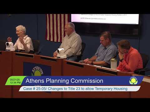
Megan Jennings, a city planner, presented a draft rezoning map on May 21 to the Athens City Planning Commission that applies staff and commissioner suggestions to the Columbus–Columbus Road–Lancaster Avenue area and adds more R‑2 buffering where residential uses abut commercial corridors.
The mapping exercise began after discussions about future reuse of the old fire station headquarters. Jennings said she digitized a handwritten map provided by Commissioner John Kotowski and overlaid existing zoning colors in GIS so commissioners could visualize an initial…
Already have an account? Log in
Subscribe to keep reading
Unlock the rest of this article — and every article on Citizen Portal.
- Unlimited articles
- AI-powered breakdowns of topics, speakers, decisions, and budgets
- Instant alerts when your location has a new meeting
- Follow topics and more locations
- 1,000 AI Insights / month, plus AI Chat