Get Full Government Meeting Transcripts, Videos, & Alerts Forever!
Get email alerts on the Rezoning topic
No spam. Unsubscribe anytime.
Planners review draft rezoning map for Columbus–Lancaster area, propose R‑2 buffer
Summary
Staff presented a GIS‑based rezoning concept for the Columbus/Lancaster/Lancaster Avenue area that adds an R‑2 buffer near residential fronts and proposes public engagement before any formal rezoning.
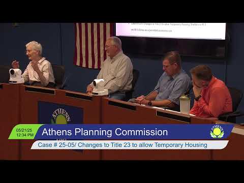
Megan Jennings, a city planner, presented a draft rezoning map on May 21 to the Athens City Planning Commission that applies staff and commissioner suggestions to the Columbus–Columbus Road–Lancaster Avenue area and adds more R‑2 buffering where residential uses abut commercial corridors.
The mapping exercise began after discussions about future reuse of the old fire station headquarters. Jennings said she digitized a handwritten map provided by Commissioner John Kotowski and overlaid existing zoning colors in GIS so commissioners could visualize an initial proposal.
“...I have taken that into GIS and kinda applied our same zoning colors so that you guys could see what his proposal is,” Jennings said during the communications portion of the meeting. She told commissioners the draft is preliminary and that staff will conduct neighborhood outreach before advancing any rezoning.
Commissioners raised specific concerns about nonconforming uses where parcels front on Lancaster Street and back onto Columbus Road, and about access to certain parcels. One commissioner noted that B‑1/B‑2/B‑3 distinctions could create nonconforming first‑floor residential uses if zoning changed without accommodations. Director David Riggs and staff confirmed they would consider rezoning some Lancaster properties to R‑2 or R‑3 to better reflect the streetscape and reduce potential nonconformities.
Jennings said the proposed R‑2 strip was intended to provide a buffer: “1 of the key things that, in in me putting that drawing together was, drawing on, my thinking, but also mister Riggs' thinking with regard to trying to provide buffer.” Commissioners discussed parcel access and easements for rear lots that may not show obvious frontage on the map and flagged the need to verify actual legal access prior to rezoning.
Next steps and public engagement: Jennings said staff will schedule public meetings and conduct outreach to Northside and Westside neighborhoods once the proposal is ready for broader discussion. She asked commissioners to submit comments or annotated maps to staff; staff offered to convert commissioners’ hand‑drawn ideas into GIS for the next packet. No formal rezoning vote was taken at the meeting; the map was presented for discussion and direction.