Get Full Government Meeting Transcripts, Videos, & Alerts Forever!
Get email alerts on the Planning Maps topic
No spam. Unsubscribe anytime.
Council clears official‑map change to remove planned east‑west leg on West Oakwood Road after owner requests four‑lot replat
Summary
The council approved an official‑map amendment removing a short planned east‑west connection on a 7.8‑acre parcel at 2028 R West Oakwood Road to allow the owners to pursue a four‑lot subdivision.
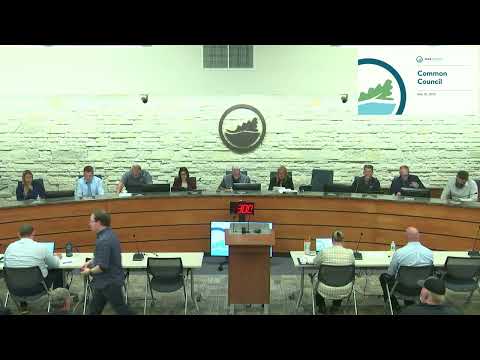
The Oak Creek Common Council on May 20 approved an ordinance amending the official map to remove a short east‑west planned connection affecting the parcel at 2028 R West Oakwood Road, clearing the way for the property owners to pursue a four‑lot certified survey map.
Christy Lane, community development director, said the official map shows planned street patterns created decades ago as guides for possible future right‑of‑way and subdivision layouts. The owners, Mark and Kim Verhalen, asked the council to “erase just this small east‑west leg” on their property so they can reconfigure the parcel and create four single‑family lots; Lane told the council the planning commission recommended approval at its April 22 meeting.
Mark Verhalen told the council he and his wife are working with the adjacent property owners and said the intent is to keep lot sizes large and limit future development intensity. “We’re looking for the least amount of impact, and hopefully, that'll be the last development to line that road because we're going to take up all the frontage with the 4 lots,” Verhalen said.
Several neighbors spoke during the public hearing but the council limited the official‑map discussion to the map amendment itself. Wayne Majeski, a neighbor on South Judith Place, requested that surface‑water and road concerns be addressed during the plat/platting and engineering review stages because Judith Place is narrow (about 15 feet wide) and local property owners expressed concern about drainage and additional traffic. Christie Lane reiterated that drainage, right‑of‑way construction, lot frontage and road‑improvement costs are addressed during later plat, certified survey map and engineering reviews, not as part of the official‑map amendment.
Alderman Burke moved approval; the council adopted the ordinance by roll call. The action removes the planned east‑west segment from the official map at the owner’s request and allows the owners to pursue a certified survey map and subsequent platting steps. Those later reviews will require detailed stormwater, frontage and access engineering and neighborhood notification as part of the standard subdivision/CSM process.
Why this matters: The official map amendment is procedural—it changes a planned street shown on the city's map and does not itself authorize road construction. It is a prerequisite to subdividing the property. Concerns about drainage, narrow local roads and frontage improvements were raised during public comment and will be considered through the engineering and platting reviews required before any subdivision or road work can proceed.