Get Full Government Meeting Transcripts, Videos, & Alerts Forever!
Get email alerts on the Transportation Infrastructure topic
No spam. Unsubscribe anytime.
Malden presents revised Spot Pond Brook greenway design; project on state TIP, construction slated for federal FY2029
Summary
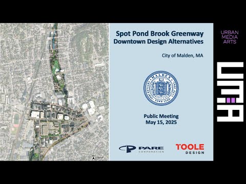
Ryan O’Malley, Ward 4 city councilor and council president, presented a revised design for a shared-use path along Spot Pond Brook that would connect Quaternary Park through downtown Malden to the Northern Strand Trail and the MBTA station, and said the project is on the state Transportation Improvement Program with an estimated cost of about $4.8 million.
Ryan O’Malley, Ward 4 city councilor and council president, presented a revised design for a shared-use path along Spot Pond Brook that would connect Quaternary Park through downtown Malden to the Northern Strand Trail and the MBTA station. He said the project is on the state Transportation Improvement Program and “our project is looking to cost around $4,800,000.”
The revised design — developed after a 2020–21 feasibility study and multiple public meetings — aims to build an 11-foot shared-use path in many locations, narrower 8-foot sections where right-of-way is constrained, and green buffers where space permits. Amy Archer, an engineering consultant on the project, said the plan tries “to keep some of the existing infrastructure” and that the team seeks “the construction of an 11 foot shared use path that would replace 1 sidewalk.”
Why it matters: the route would provide a continuous, ADA‑compliant pedestrian and bicycle link from the park through Dartmouth, Middlesex and Charles streets to Canal Street and the Northern Strand Trail, with design features intended to reduce user conflict and improve crossings. City staff and consultants stressed that the project would not remove travel lanes and said there would be no net loss of parking across the project limits based on current designs.
Details of the route and design: the team showed a continuous alignment that runs north from Quaternary Park, along Dartmouth under the Florence Street bridge, across Middlesex near the Central Business District garage, past Walgreens and Stop & Shop on Charles Street, and north to Canal Street where the path would join the Northern Strand Trail. Travel lanes in constrained areas are shown at roughly 10 feet, parking lanes at about 7 feet, and designers said they have retained existing curb lines where possible to avoid extensive utility work. At constrained locations, the Canal Street segment would be an 8‑foot widened sidewalk rather than an 11‑foot path; project materials also show mountable curbs where emergency access or truck turning movements require it.
Funding and schedule: O’Malley and staff said the project received design grants (including MassTrails and a gaming commission grant mentioned in public comments), is on MassDOT’s TIP and is currently slated for federal fiscal year 2029. The next formal steps described were completing the revised 25% design, submitting it to MassDOT after additional public engagement and a Traffic Commission review, and then advancing to 75% and final design following MassDOT review (MassDOT review was described as taking up to about three months).
Public concerns and trade-offs: the meeting featured extended public comment and councilor feedback. Business owners and some residents raised safety concerns about locating a path on Canal Street because of truck turning movements and heavy vehicle activity; speakers called for ensuring truck access and loading is preserved. Other residents and users, including people who walk and use wheelchairs, pressed for wider, ADA‑compliant sidewalks and safer crossings. Councilor Crow asked for respectful consideration of “both sides” and said the project should balance business needs and pedestrian safety.
Stakeholder perspectives: Jonah Currens, executive director of Bike to the Sea, said the trail system experiences heavy use and noted riding and walking counts: “Last year, we had over 330,000 trips,” and that many users are pedestrians and people using mobility devices, not only cyclists. Several residents and ward councilors argued the Canal Street routing improves access for neighborhood pedestrians traveling to the MBTA station and nearby businesses and is preferable to routing along Main Street.
Design constraints and mitigations: consultants said the team prioritized avoiding curb shifts that would trigger significant utility relocations and added cost. Where the full 11 feet cannot fit, the design uses an 8‑foot minimum that planners called “commonly acceptable to DOT in areas where we have constraints.” Designers also proposed intersection improvements — shortened crosswalks and bump-outs — and considered raised crosswalks or other FHWA‑recommended crossing treatments to reduce conflicts.
Next steps and how to comment: presenters said they will post materials on the city website and hold further public meetings. They listed a Traffic Commission meeting and an additional public session; staff asked for written comments to Ryan O’Malley at ro'malley@cityofmalden.org and said the revised 25% design will be submitted to MassDOT after this round of engagement.
The presentation brought broad public engagement and highlighted competing priorities — immediate user safety and accessibility, longer‑term greenway continuity, business loading needs and preservation of street parking — all of which the city said it will continue to address through design revisions and MassDOT review.