Lawmakers weigh school safety mapping grant to give first responders verified building maps
Loading...
Summary
Representatives and private vendors urged the committee to fund a school safety mapping grant program that would produce standardized, verified maps for every school to improve emergency response; vendors and proponents detailed costs and standards for creating and maintaining maps.
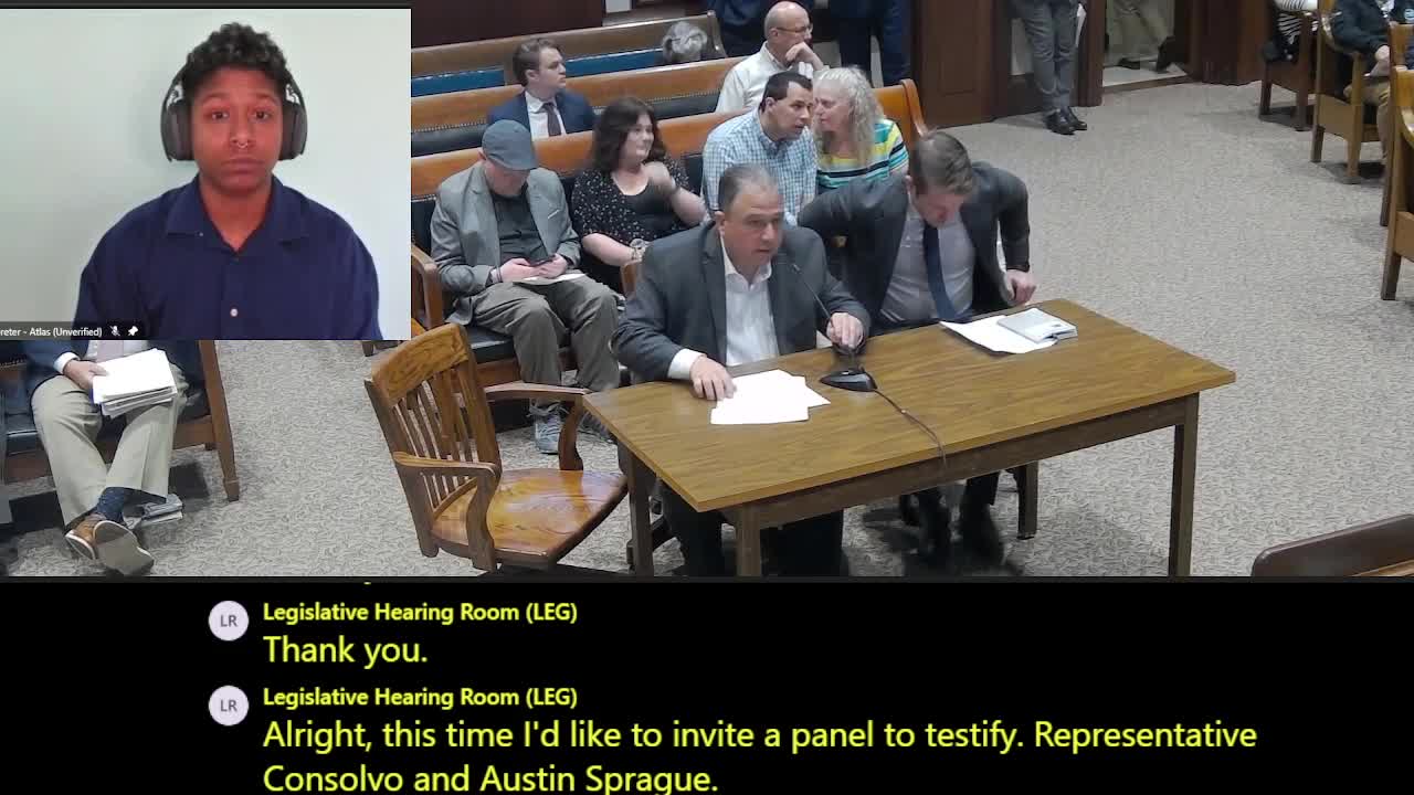
Lawmakers and safety practitioners heard detailed testimony in favor of establishing a Massachusetts School Safety Data Grant Program to fund standardized, verified emergency maps for schools. Proponents said accurate, shared maps would give first responders precise, interoperable location data during high‑stress incidents.
Why it matters: Austin Sprague of Critical Response Group and Kevin O’Connell of Geocom described how standardized maps—aerial imagery with labeled features, north orientation, and an alphanumeric grid—help multiple agencies coordinate in joint responses. Sprague said responders “need the exact same map” so that a reference such as “Building 11, Grid D4” identifies the same location to every agency on scene.
Costs and delivery: Witnesses described a common implementation model: an upfront site survey and map production averaging about $4,000 per school and annual maintenance of roughly $500–$600 per school. Proponents recommended the program be platform‑agnostic: maps must be available in paper form, cloud feeds for 911 centers, and formats compatible with many vendors. Kevin O’Connell urged the committee to coordinate with the Executive Office of Technology Services and Security, MassGIS, and the state 911 department to ensure interoperability and preserve school ownership of the data.
Questions and context: Committee members asked about upkeep and platform interoperability. Sprague said many states fund the upfront cost via grants and leave ongoing maintenance to districts; maps should be stamped with the last verification date so responders know currency. He cited Uvalde’s after‑action findings, noting inaccurate floor plans contributed to response failures.
Ending: Supporters asked the committee to fund a grant program to create a single verified source of school map data statewide. No vote was recorded in the transcript; the bill remained under committee consideration.