Get Full Government Meeting Transcripts, Videos, & Alerts Forever!
Get email alerts on the Urban Forest Management topic
No spam. Unsubscribe anytime.
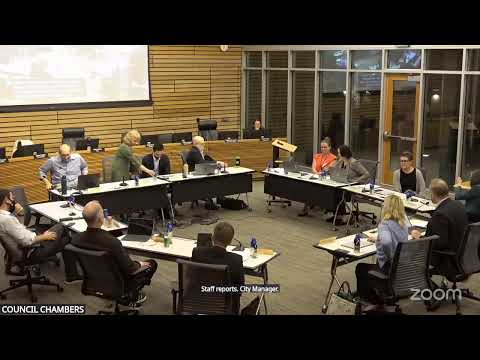
Kenmore council signals support for 50% urban canopy goal in draft forest plan
Summary
At a study session, Kenmore staff and consultants presented a draft Urban Forest Management Plan and councilors signaled support for a citywide 50% canopy target, asked for regular five‑year check‑ins, and directed staff to refine implementation details and return with a final draft.
Kenmore City Council members signaled support for setting a citywide urban tree canopy goal of 50% during a study‑session presentation of a draft Urban Forest Management Plan (UFMP) from Environmental Services and consultant teams.
The plan, presented by Environmental Services Director Richard Sawyer and Climate Action Plan Program Manager Nina Rasmussen with consultants Kim Frappier and Deb Powers, lays out a data‑driven roadmap to preserve and grow Kenmore’s canopy over time. “This is a high‑level, guiding, strategic document,” Sawyer said, adding it supplies tools and data for later project‑level work but “is not…a document that provides specific code updates.”
The nut of the plan: Kenmore currently has about 1,790 acres of tree canopy — roughly 46% of the city’s total land area including St. Edward State Park (about 41% excluding the park). The draft identifies approximately 605 acres of potential plantable area (465 acres on private land, 99 acres public, 42 acres in rights of way) and a GIS ranking that prioritizes plantings where climate resilience and equity needs overlap. Consultants said about 31 stormwater detention sites could yield roughly 2.5 acres of plantable area.
Why it matters: city canopy, especially in heat‑vulnerable neighborhoods, affects flood risk, urban heat, carbon sequestration and equity outcomes. The draft pairs the technical analysis with community input — the engagement effort drew 102 survey responses and about 45 open‑house attendees — and proposes goals, actions, estimated resources and a phased timeline.
Key council directions and discussion points
- Goal: Council members indicated support for a 50% citywide canopy target, including St. Edward State Park, while emphasizing implementation realism. Rasmussen summarized the scale: “That’s what 50% would mean,” noting moving from roughly 46% to 50% translates to about 160.5 acres of new canopy and would require sustained, multi‑decadal effort.
- Timing and checks: Staff and consultants recommended setting an aspirational long‑term goal and using five‑year reviews to assess progress and refine policy and project priorities. Councilors asked staff to report back on implementation progress at regular intervals.
- Implementation constraints: Speakers emphasized the difference between planting and measurable canopy gain — newly planted trees often take 5–10 years to show up in canopy assessments — and stressed that success depends on staff capacity, funding and community volunteer programs. Rasmussen and Sawyer noted some actions are low‑cost and immediate (public education, volunteer plantings) while others require more staff or budget.
- Prioritization and equity: GIS analysis used equally weighted climate and equity indicators (urban heat, flood risk, economic and health equity) to prioritize plantings. Consultants said the north end of the city shows many of the highest priority public planting opportunities.
- Community role and operations: Council members and staff discussed expanding volunteer planting and stewardship programs, maintaining planted areas through multi‑year watering and invasive species control, and potential needs for an urban‑forestry coordinator or program manager if the city expands delivery.
What the plan quantifies
- Current canopy: ~1,790 acres (46% of total city area); excluding St. Edward State Park, canopy is ~41%.
- Potential plantable area: ~605 acres total (465 private / 99 public / 42 rights of way).
- Public engagement: 102 survey responses and ~45 open‑house attendees; survey respondents favored an aspirational canopy gain over “no net loss.”
- Priority sites: GIS ranking tool highlights highest priorities in darker shades on the city map, with many high‑priority public plantable areas in the north end of Kenmore.
Next steps and timeline
Staff said they will incorporate council feedback and community input into a revised draft and return with a more polished final UFMP and refined GIS figures. Sawyer told the council staff will incorporate tonight’s comments and “get a final draft to you all by July, before your August recess.” Staff also noted available grant funding tied to an end‑of‑month submission for a council review draft and said some initial planting events and outreach could begin this fall.
Ending
Councilors ended the UFMP discussion by stressing the need to pair an aspirational canopy goal with concrete, resourced steps: targeted public‑land plantings, incentives for private‑property plantings, regular canopy assessments and a programmatic approach to long‑term stewardship. The plan’s GIS tool and the UFMP’s recommended actions will guide staff and council decisions as Kenmore moves from planning into staged implementation.