Get Full Government Meeting Transcripts, Videos, & Alerts Forever!
DOGAMI seeks $330,000 USGS grant to map Cornucopia mining district and assess critical minerals
Summary
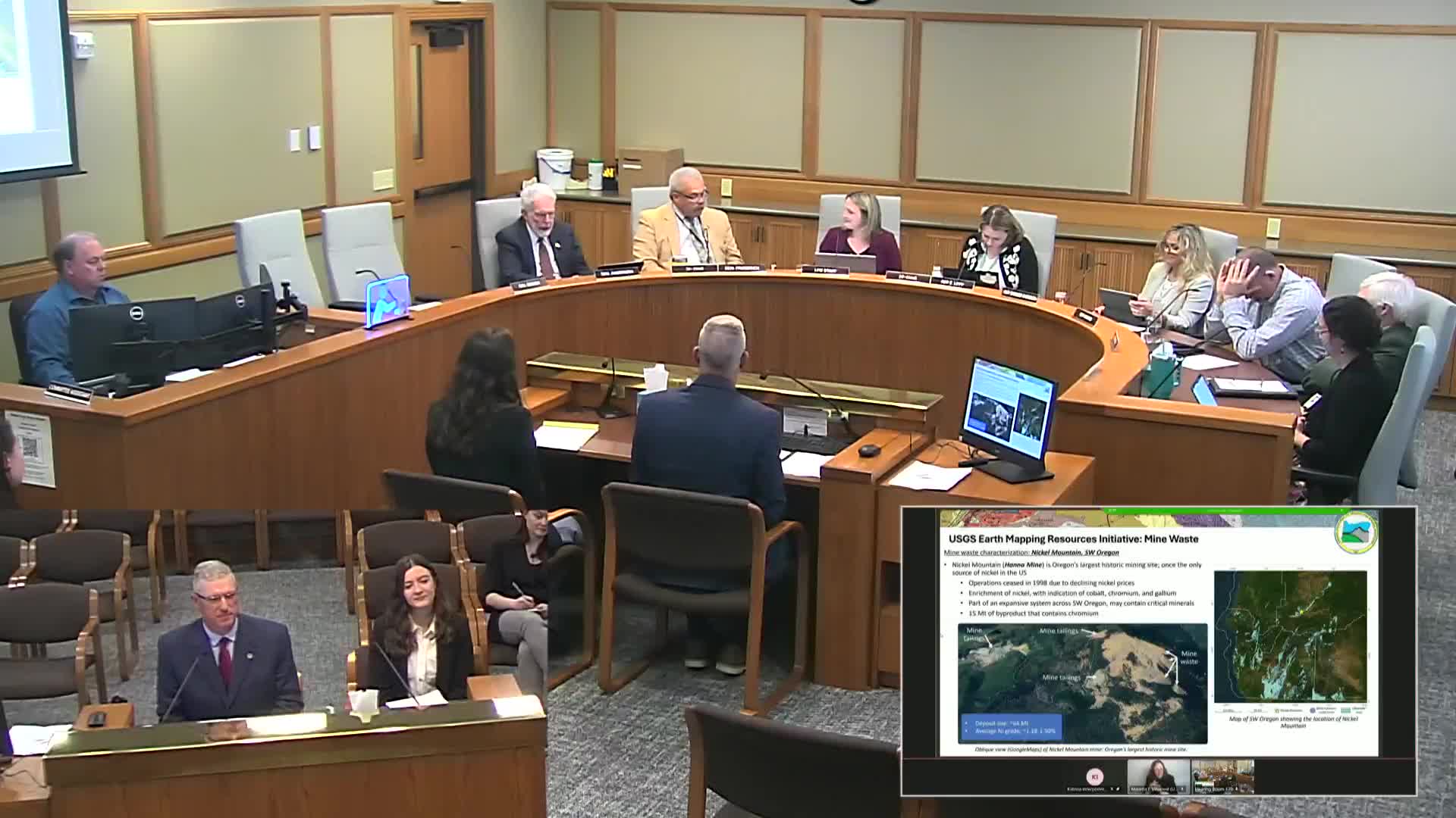
The Oregon Department of Geology and Mineral Industries asked the Natural Resources Subcommittee for Ways and Means for permission to apply for a $330,000 U.S. Geological Survey Earth MRI geologic mapping grant to produce detailed mapping and a mineral-resource evaluation of the Cornucopia District in eastern Baker County.
The Oregon Department of Geology and Mineral Industries asked the Natural Resources Subcommittee for Ways and Means on May 6 for permission to apply for a $330,000 U.S. Geological Survey Earth Mapping Resources Initiative (Earth MRI) geologic mapping grant to map and evaluate critical minerals in the Cornucopia Mining District.
Jason McClary, program manager for the Geological Survey and Services program at DOGAMI, told the committee the proposed project would produce new detailed geologic mapping of the Cornucopia and Dead Man Point…
Already have an account? Log in
Subscribe to keep reading
Unlock the rest of this article — and every article on Citizen Portal.
- Unlimited articles
- AI-powered breakdowns of topics, speakers, decisions, and budgets
- Instant alerts when your location has a new meeting
- Follow topics and more locations
- 1,000 AI Insights / month, plus AI Chat