Get Full Government Meeting Transcripts, Videos, & Alerts Forever!
Get email alerts on the Floodplain Overlay topic
No spam. Unsubscribe anytime.
Beverly planning board and council open hearing on updated floodplain overlay; adoption required to keep NFIP participation
Summary
City staff and the planning board presented a FEMA‑required update to Beverly’s floodplain overlay district; the council recessed the joint hearing and referred the ordinance to legal affairs for follow‑up before formal adoption.
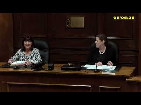
City sustainability staff and the Beverly Planning Board told the City Council on May 5 that the city must adopt updated floodplain overlay language to remain eligible for the National Flood Insurance Program.
Ibrahim Lopez Hernandez, project manager for the city’s sustainability department, said FEMA completed a flood insurance study and that municipalities must adopt updated ordinance language and definitions to stay in the program. The city’s deadline to adopt the language was described as July 8 in the presentation materials.
The proposed ordinance updates FEMA definitions, designates a required floodplain administrator, tightens permit and floodway rules, raises thresholds for when base flood elevation documentation is required (from earlier thresholds of 10 lots or 2 acres to 50 lots or 5 acres), and expands variance provisions the Zoning Board of Appeals must apply. Lopez Hernandez said the revised maps add about 65 parcels to the overlay (mostly inland exposures in Wards 6, 5 and 3) on top of roughly 1,446 parcels currently inside the district, bringing the total to about 1,511 parcels (roughly 13% of city parcels) in preliminary files shared with the city.
Lopez Hernandez summarized why the city should remain in the National Flood Insurance Program: affordable flood insurance access for property owners, maintenance of eligibility for federally backed mortgages, reduced reliance on federal disaster assistance, and lower overall fiscal exposure for the city. He noted historical FEMA claim data showing about $3.6 million in total reported damages for Beverly and roughly $2.8 million in claims paid, leaving uncovered costs reported at about $700,000 across roughly 164 claims since the 1970s.
Planning board and council discussion: Councilor Crowley asked whether the city can identify the specific Ward 3 addresses that would be newly included; Lopez Hernandez said preliminary address lists and property‑owner information are available and that the city will notify affected owners when maps are final. Building Commissioner Jim Butler said he had issued only two permits for work in the floodplain during his two‑and‑a‑half years on the job; he and planning board members discussed the technical and permitting implications of variances, base‑flood elevation triggers and state review procedures.
The assistant city solicitor told the boards the solicitor’s office had reviewed the proposed ordinance language and worked with staff on the drafting; the office was comfortable moving the draft forward.
No ordinance vote was taken. The City Council recessed its portion of the joint public hearing and the planning board recessed to take further comment and to prepare a recommendation; both bodies will receive additional technical materials and notify the public before any final vote.