Get Full Government Meeting Transcripts, Videos, & Alerts Forever!
Geologist describes scale of Glacial Lake Missoula floods and urges congressional recognition, visitor center
Summary
At a Missoula Public Library lecture, a geologist outlined evidence that repeated Ice Age floods carved landscapes from Western Montana to the Pacific, described the scientific history, and urged local support for visitor facilities and two bills pending in Congress.
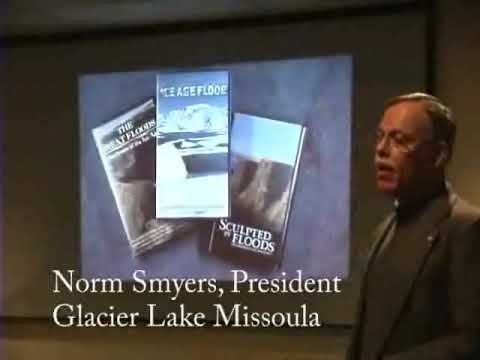
A geologist who spoke at the Missoula Public Library on Feb. 20, 2007, described the size and reach of the Ice Age floods tied to Glacial Lake Missoula, urged local support for a visitor center in Missoula and asked attendees to encourage their congressional delegations to cosponsor federal legislation to recognize the floods.
The presenter said Glacial Lake Missoula held roughly 500 cubic miles of water at its highest stands and that the lake could have drained over a period of “somewhere between 2 days and 2 weeks.” He described maximum local water depths of up to about 2,000 feet near the ice dam and estimated peak discharge at…
Already have an account? Log in
Subscribe to keep reading
Unlock the rest of this article — and every article on Citizen Portal.
- Unlimited articles
- AI-powered breakdowns of topics, speakers, decisions, and budgets
- Instant alerts when your location has a new meeting
- Follow topics and more locations
- 1,000 AI Insights / month, plus AI Chat