Get Full Government Meeting Transcripts, Videos, & Alerts Forever!
Get email alerts on the Infrastructure And Floodplain Management topic
No spam. Unsubscribe anytime.
Commission gives preliminary approval to Lago Del Valle Phase 3; floodplain, dam conversion and TCEQ coordination highlighted
Summary
The commission granted preliminary approval to Lago Del Valle Phase 3 while engineers described ongoing coordination with FEMA and TCEQ on floodplain mapping and a state-registered dam conversion to a regional detention pond; parks land is being preserved pending dam work.
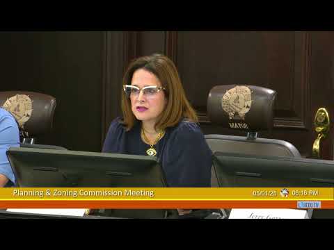
The City of Laredo Planning Commission gave preliminary approval to the replat and subdivision plan for Lago Del Valle Phase 3, a multi-lot residential project, after the developer’s engineer outlined long-running floodplain and dam work that must be coordinated with state and federal agencies.
Edward Gossa of Craig Engineering described the site and its history, saying the developer previously pursued a planned-unit development and has now shifted to an R-1B configuration after market changes. “When it comes to the VFE, it's common number 1. We already have a cloner on file with FEMA, in which we're working with FEMA directly to, update the flood plain in this area, as well as updating the existing, dam that's downstream,” Gossa said, describing multi-year coordination with the Texas Commission on Environmental Quality (TCEQ).
Gossa told the commission the downstream dam is a state-registered dam and that improvements to convert it into a regional detention pond require approvals beyond the city, specifically TCEQ review. That conversion, he said, has been in coordination with TCEQ for more than four years and will require substantial construction on the dam before park improvements tied to the subdivision can proceed.
The project team said much of the infrastructure for the subdivision is already in place from earlier phases: streets, utilities and some park improvements are reserved and utilities for future water use have been provided. The property also lies within the Webb County Drainage District, and the developer said that district will perform drainage maintenance and floodplain management for the project area.
Commissioners asked about access and local street dimensions; staff and the engineer confirmed primary access would come from Brownwood via a 60-foot right-of-way, and that speed tables from earlier phases remain in place to control speeds. After questions, a motion to approve the preliminary plat subject to staff comments passed unanimously.
Staff and the developer emphasized that additional technical approvals and a final plan review will follow: city engineering will review the submitted plans and coordinate with FEMA and TCEQ during the final-approval process. The commission’s action allows the developer to continue detailed design and to pursue the required agency approvals for dam and floodplain work.