Get Full Government Meeting Transcripts, Videos, & Alerts Forever!
Get email alerts on the Land Use And Planning topic
No spam. Unsubscribe anytime.
Council updates floodplain overlay language to meet FEMA and state standards
Summary
The council approved amendments to the Floodplain Overlay District to align the city ordinance with FEMA and the National Flood Insurance Program; city planning staff characterized the change as housekeeping that affects relatively few properties due to the city’s levee protections.
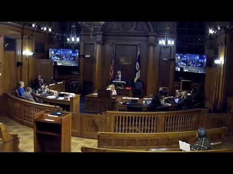
The Springfield City Council approved a zoning change to amend Article 8, Section 8.4, the Floodplain Overlay District, to bring local ordinance language into conformance with updated Federal Emergency Management Agency (FEMA) rules and National Flood Insurance Program (NFIP) requirements.
Phil Dromey, deputy director of planning, described the measure to the council as largely housekeeping: the amendments update definitions, clarify submission requirements for flood studies, and set standards and variance language that align local review with FEMA and Massachusetts Department of Conservation and Recreation guidance. Dromey said the floodplain overlay ordinance controls construction in areas FEMA identifies as Special Flood Hazard Areas; it does not replace wetland regulation, which remains with the conservation commission. He noted that Springfield’s North End is largely protected by the city’s levee system, which limits the number of properties that trigger the overlay.
The council held no public opposition at the hearing and recorded a roll‑call vote approving the change by the two‑thirds majority required for the zoning amendment. The amendment will update the process by which the building commissioner, who serves as the local floodplain administrator, reviews permits in regulated flood zones and will align city zoning with state and federal floodplain standards.
The planning office said staff will follow up with notice and updated maps for applicants and permitting staff as the revised ordinance takes effect.