Get Full Government Meeting Transcripts, Videos, & Alerts Forever!
Get email alerts on the Contaminated Sites topic
No spam. Unsubscribe anytime.
DEC presents contaminated‑sites map for Chena River corridor; PFAS, dry‑cleaner solvents, petroleum noted
Summary
The Alaska Department of Environmental Conservation on April 23 showed commissioners an interactive contaminated‑sites web map that identifies active sites, groundwater plumes and cleanup status for parts of the Chena River corridor.
The Alaska Department of Environmental Conservation on April 23 showed commissioners an interactive contaminated‑sites web map that identifies active sites, groundwater plumes and cleanup status for parts of the Chena River corridor.
The presentation by Robert Burgess of DEC’s Contaminated Sites Program explained what the map shows, how plume layers work and where DEC is focusing sampling and cleanup. "PFAS is a class of thousands of compounds," Burgess said, describing why the agency treats recent PFAS detections differently than older petroleum or solvent contamination.
DEC’s web map displays active sites (diamonds), closed sites (yellow squares) and sites closed with institutional controls (red stars). Burgess said the map also shows groundwater plumes by contaminant type — petroleum, chlorinated solvents, PFAS and other contaminants — and can link to site files and reports.
Why it matters: commissioners were told the river corridor contains a mix of historical contamination and more recent PFAS impacts tied to airport firefighting foam and other uses. DEC emphasized that proximity to the river does not automatically mean a water‑quality impact at levels of concern; instead the agency combines groundwater, pore‑water and targeted ecological sampling to assess risk.
What DEC reported - PFAS near Fairbanks International Airport: Burgess said the airport plume has prompted replacement of some private drinking wells and that the airport has participated in remediation work, including an FAA matching grant and the use of destructive treatment technology on sump material. He described a hydrothermal alkaline treatment process (HALT) used in recent remediation efforts. Burgess said private wells with detections were offered hookups to Golden Heart Utilities. - Chlorinated solvent plumes: Downtown dry‑cleaning sites produce chlorinated‑solvent plumes that can extend toward the river; DEC has used well and vapor intrusion sampling to track those plumes. - Petroleum: industrial areas off Phillips Field Road and other sites show petroleum plumes that, in many mapped cases, do not extend to the river. - Tar seeps and booms: Burgess noted historical tar seeps in Fort Wainwright areas and that a containment boom is deployed seasonally to limit mobilization of contaminants.
Sampling and measurement: Burgess described pore‑water sampling and passive samplers as tools to measure contaminants as they move from groundwater into sediments and surface water. He said pore‑water and sediment approaches are often more informative than open‑water sampling because moving river water can dilute detectable concentrations.
Regulatory tools and cleanup approaches: Burgess explained that some sites are closed with engineering or land‑use controls under the state’s Universal Environmental Covenants Act (UECA). He said institutional controls run with the property to prevent exposure and explain responsibilities for future owners. For active contamination, DEC typically pursues characterization, source control and remediation with responsible parties; in some cases federal brownfields or grant programs provide funding for redevelopment projects.
Questions and next steps: Commissioners asked about fish and ecological sampling, and Burgess said DEC uses an eco‑scoping process and, when required, a screening‑level ecological risk assessment to identify receptors and sampling plans. He offered to return with more detailed site‑specific information and provided his contact (robert.burgess@alaska.gov).
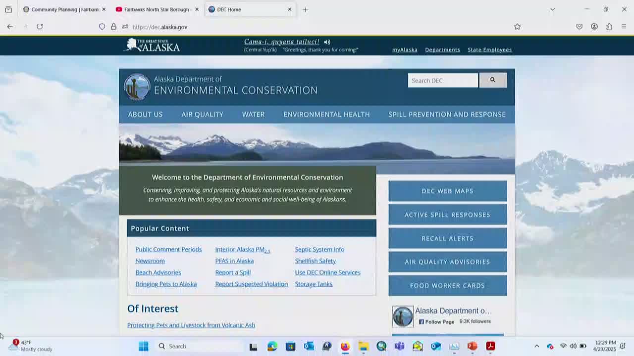
Background and resources: Burgess directed commissioners to dec.alaska.gov for site summaries and the web map, which includes links to site documents, historical correspondence, reports and plume delineations.
Ending: DEC staff offered to return with deeper, site‑specific briefings on request and to provide the commission with links to the web map and key reports.