Get Full Government Meeting Transcripts, Videos, & Alerts Forever!
Get email alerts on the Zoning Subdivision topic
No spam. Unsubscribe anytime.
Planning commission backs rezoning to allow 19‑lot subdivision at 2000 North Canyon Road
Summary
At its April 23 meeting, the Provo Planning Commission voted unanimously to recommend that the City Council approve a zone map amendment requested by Tyson Reynolds to change 3.84 acres at 2000 North Canyon Road from R‑1.8 to R‑1.6, which would allow subdivision into roughly 19 single‑family lots of about 6,000 square feet each.
At its April 23 meeting, the Provo Planning Commission voted unanimously to recommend that the City Council approve a zone map amendment requested by Tyson Reynolds to change 3.84 acres at 2000 North Canyon Road from R‑1.8 to R‑1.6, which would allow subdivision into roughly 19 single‑family lots of about 6,000 square feet each.
The change, presented by city planner Aaron Ardmore, follows a prior approval of R‑1.8 for the site. Ardmore told commissioners the applicant had returned to request R‑1.6 to permit smaller lots because the parcel’s configuration and topography make R‑1.8 lot dimension requirements difficult to meet. Ardmore said two written public comments had been entered into the record prior to the hearing.
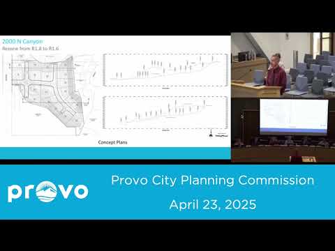
The developer told commissioners that, purely by acreage, a theoretical yield at R‑1.8 would be about 21 lots, but ‘‘due to the configuration of the requirements of R‑1.8 and changes of elevation’’ the R‑1.6 layout is more workable and produces approximately 19 lots. Cross sections included with the submission show a generally flat approach from Canyon Road (about 2 percent slope), a steeper segment (about 10 percent) between the first and second internal streets, and flatter building pads across the remainder of the site.
Much of the public and commission questioning centered on grading and downstream effects. Neighbors and the District 1 chair, Matt Wheelwright, said they were relieved to see the cross sections but remained concerned about where cut slopes and finished grades would sit relative to existing backyards. Resident Gary Carl raised three items: a property boundary overlap he said reduces available acreage, tailwater from the Tenth Canal that drains to the hillside, and wildfire risk on the steeper rear lots.
The applicant and staff said the grading and detailed geotechnical work will be handled with the subdivision approval process that follows a zone change. Staff pointed to a bonding requirement referenced in the staff report to ensure hillside work is completed to city standards. The developer said slopes in the cross sections would generally be reduced to about 2½:1 in buildable areas, that revegetation and landscaping will be included in final plans, and that the project is designed to meet fire access standards using hammerheads where needed so fire apparatus can turn around.
Commissioners pressed the developer on how the finished elevations compare to neighboring yards; the applicant said the finished grade in the new lots would be lower than the adjacent existing backyards in the most directly abutting locations. Staff reiterated that a geotechnical report will be required with subdivision and grading plans and that those documents will be reviewed for slope stability, erosion control and drainage before permits are issued.
The applicant told the commission he intends to build most of the homes and sell them, that streets in the subdivision will be private and therefore will require an HOA for maintenance, and that pressurized irrigation will be rerouted to serve the new lots. Commissioners also discussed haul time and estimates for earthwork; the developer estimated significant dirt haul would take weeks to months using local receival options.
After discussion, the commission made and seconded a motion to recommend approval of the R‑1.8 to R‑1.6 zone map amendment for 2000 North Canyon Road. The motion passed unanimously.
The zone map amendment recommendation will go to the City Council for final action. If the council approves the rezoning, the developer must still submit a subdivision and grading plan, a geotechnical report, and obtain building permits; those documents will include the detailed mitigation measures for slopes, drainage and revegetation noted during the hearing.
Votes at a glance: The Planning Commission recommended approval of the Tyson Reynolds zone map amendment (R‑1.8 to R‑1.6) at 2000 North Canyon Road by unanimous vote; the recommendation will be forwarded to the City Council.