Citizen Portal
Sign In

Council planning committee weighs Eastern Overlay zoning changes and coordination with municipalities

3094124 · April 22, 2025

Loading...

AI-Generated Content: All content on this page was generated by AI to highlight key points from the meeting. For complete details and context, we recommend watching the full video. so we can fix them.

Summary

Committee members and staff discussed draft amendments to zoning (ordinance 25‑09) and landscape/open‑space rules (ordinance 25‑10) to implement the county’s Future Land Use and Character Map; staff will coordinate with municipalities, the Stormwater Advisory Board and bring more detailed mapping and options back to the committee.

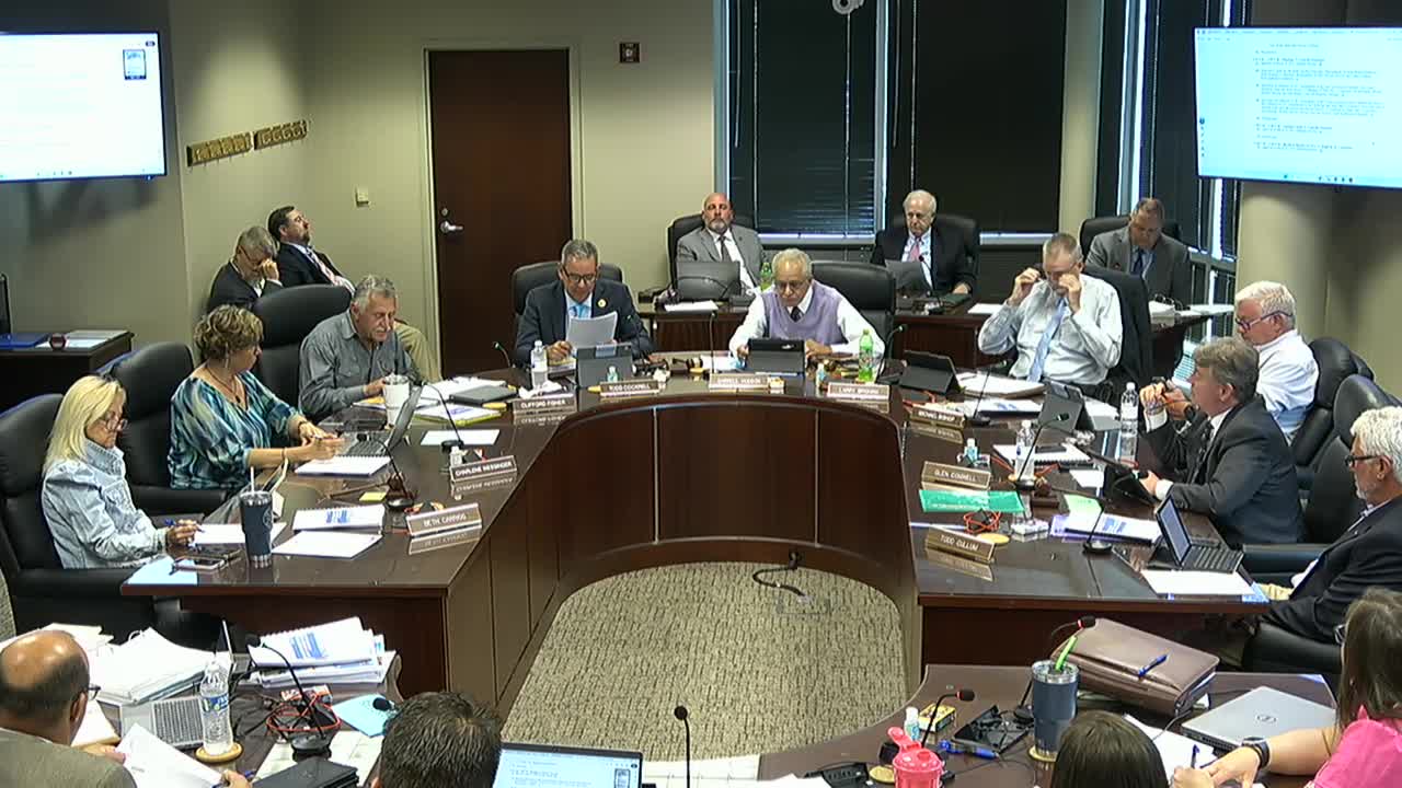
Lexington County planning committee members discussed proposed changes to the county zoning ordinance — including an Eastern Overlay District intended to guide infill and preserve municipal edges — and a parallel set of landscape and open‑space amendments.

Robbie Derek of Community Development explained the overlay's goal: to focus higher‑density growth near municipalities and existing infrastructure, promote interconnectivity, require traffic‑impact assessments in certain areas and offer developers design flexibility while retaining maximum dwelling unit caps. Derek said the overlay would apply the county’s Future Land Use and Character Map across multiple municipalities and would include options such as architectural standards, conservation‑oriented open space, a sliding scale for minimum open space (15–35 percent) and expanded access/ingress requirements for larger subdivisions.

Committee members raised several questions about mapping and timing. The town of Lexington’s mayor had requested a “central overlay” that mirrors municipal future growth plans; Derek said staff had been in contact with Lexington and other municipalities and intended the overlay to be consistent across municipal boundaries where applicable. A recurring suggestion was to require traffic‑impact studies in the overlay and to adopt the town of Lexington’s access standards for subdivisions where feasible.

Members asked how the overlay districts would be applied to the existing map and whether legacy zoning districts should carry forward in some places. Derek noted that a full county remap is not expected at once; staff proposed a hybrid approach where a majority of the county could be remapped to the new districts while some legacy districts remain until property‑level rezoning requests are considered. Several council members asked for more time to digest the draft; they suggested additional reviews with the Stormwater Advisory Board, municipal partners and a field visit to exemplar sites.

The committee did not take a vote to adopt the overlay or the landscape/LD amendments at the meeting. Derek said that if council elects to proceed, the amendment process would follow the standard ordinance path — three readings, planning commission review and public hearings.

Next steps: staff will continue municipal coordination, present the draft to the Stormwater Advisory Board and return to committee with mapping options and consolidated comments before any first reading.