Get Full Government Meeting Transcripts, Videos, & Alerts Forever!
Get email alerts on the Land Use Planning topic
No spam. Unsubscribe anytime.
Grayson County Planning Commission outlines work calendar, signals move toward future land-use mapping
Summary
The commission reviewed the planning department's matrix of Comprehensive Plan strategies, agreed to prioritize subdivision procedural amendments and land-use mapping/suitability analysis, and discussed ongoing projects including pedestrian-bike phases and coordination on VDOT/FAA notifications.
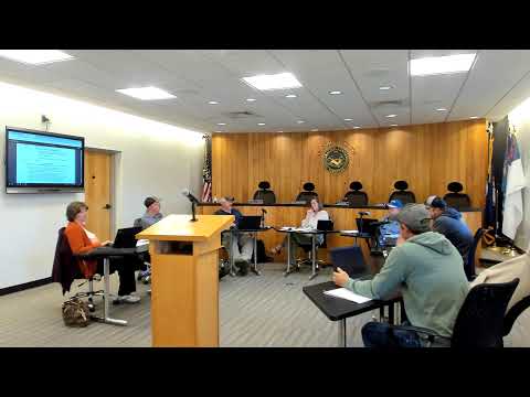
The Grayson County Planning Commission spent the second half of its meeting reviewing the planning department's work calendar and Comprehensive Plan strategy matrix and agreed to prioritize several short- and medium-term tasks, including subdivision-administration changes and a suitability analysis to support a future land-use map.
Planning staff (Miss Black) presented a matrix of strategies from the county's Comprehensive Plan and asked the commission to identify short-, medium- and long-term priorities. Commissioners endorsed wrapping up two items quickly: (1) amendments to the subdivision administrative process to require digital survey deliverables and clarify land-division data (identified in the packet as Strategy 77) and (2) an administrative process clarification to better align rezoning/site-plan review interactions with VDOT (Strategy 118). The commission also agreed to begin a suitability/sustainability analysis to support development of a formal future land-use map as a longer-term project that will likely require outside assistance or coordination with regional planning partners.
Miss Black told commissioners that several infrastructure and transportation items are already in progress or recently completed, including pedestrian-bike work in Independence (phase work noted as near completion) and ongoing SmartScale projects to improve roadway alignments. She also reported receiving FAA notice that a previously discussed wind-turbine FAA application was reissued and that she had filed a letter requesting clearer public notification because the county's public-notice area had not been properly included.
Commissioners discussed the practical effects of suggested code amendments, including clarifying setbacks on private versus public roads after a prior case in which a property owner had to move a residence. They also discussed coordination with the district planning commission and extension office on a land-use suitability study, and the need to involve towns for sidewalk/grant work to improve pedestrian safety near schools and Food City.
Miss Black said some short-term ordinance changes (for example, requiring DXF AutoCAD files with subdivision submissions) could be implemented quickly, while mapping and suitability work would likely take months and could require contracting with regional partners. The commission directed staff to proceed with the two near-term items (subdivision file standards and rezoning/VDOT coordination) and to return with initial steps for a suitability analysis and land-use mapping program.
No formal votes were taken on the work-plan items during the meeting; commissioners agreed by consensus to the prioritized items and staff follow-up.