Lifetime Citizen Portal Access — AI Briefings, Alerts & Unlimited Follows
Missoula lecture traces Glacial Lake Missoula floods, calls for visitor center and congressional support
Loading...
Summary
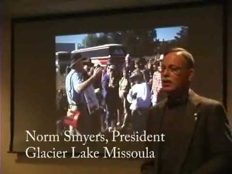
At a February 2007 presentation at the Missoula Public Library, a geologist and member of the Ice Age Floods Institute outlined the history and landscape effects of Glacial Lake Missoula and the region’s Ice Age floods, described the institute’s education work and field trips, proposed a Missoula-area visitor center, and urged the audience to encourage congressional cosponsors for two bills now before Congress.
At a February 2007 presentation at the Missoula Public Library, a geologist and member of the Ice Age Floods Institute outlined the history and landscape effects of Glacial Lake Missoula and the region’s Ice Age floods, described the institute’s education work and field trips, proposed a Missoula-area visitor center, and urged the audience to encourage congressional cosponsors for two bills now before Congress.
The presenter said the floods — produced when an ice dam that held Glacial Lake Missoula failed repeatedly near present-day Sandpoint, Idaho — scoured and reshaped terrain across Western Montana, central Washington and down the Columbia River to the Pacific Ocean. “This is something I need to get involved with,” the presenter said, describing how early regional meetings and a later citizen group helped push for broader recognition of the flood story.
Why it matters: The speaker stressed the floods’ geological significance and their potential for tourism and education. He said the Ice Age Floods Institute seeks to coordinate interpretation across the four-state region (Montana, Idaho, Washington and Oregon), to produce guide routes and materials for visitors, and to create local facilities that would lengthen stays in gateway communities such as Missoula.
The presenter reviewed scientific and historical background used to support the flood interpretation. He cited earlier researchers Jay Harlan Bretz and Joseph T. Pardee and described how large-scale features — giant ripple marks in the Camas Prairie, the Grand Coulee and Dry Falls, and wide, deep flood channels — point to episodic, cataclysmic outflows. The talk included several quantitative estimates offered by the presenter: at peak stand Glacial Lake Missoula held roughly 500 cubic miles of water and was about 2,000 feet deep near the ice dam; peak discharge through narrow gaps has been estimated by the presenter at about 9.4 cubic miles of water per hour, and the lake could theoretically have drained in as little as two days or as long as two weeks because of downstream constrictions. The presenter characterized the largest floods as many times larger than ordinary river flows.
Education and outreach efforts: The Ice Age Floods Institute runs eight chapters across the four-state region, offers at least one field trip annually per local chapter and has produced videos for public use; the presenter donated a KSPS-produced documentary to the Missoula Public Library. The institute also compiled a multi-state study that identified travel loops and interpretive sites; the presenter said that report was completed and submitted to the secretary of the interior in early 2001 for possible congressional consideration.
Funding and congressional action: The presenter said the institute received a lump sum in the early stages to produce the report (the presenter described the amount as “20 to $200,000”). He told the audience that two bills had been introduced recently in Congress — a Senate bill numbered 268 and a House bill numbered H.R. 450 — and asked listeners to encourage their senators and representatives to become cosponsors. He also said an earlier measure, Senate Bill 206, had received a unanimous vote in the Senate. The presenter characterized the current bills as still pending and urged local support to increase cosponsorship before the measures reach the floor.
Local proposal and tourism goals: The presenter described a vision for a Missoula visitor center near the ballpark with parking and shuttle connections to downtown, intended to keep visitors in the community “one more day” and to make it easier for travelers in large RVs to access downtown. He said coordinated interpretive signage and “pathways” or loop routes across the flood-affected landscape could increase heritage tourism for wineries, recreation areas and state parks that owe soils and scenery in part to flood deposits.
Scholarly context and public interest: The speaker recounted the decades-long scientific debate over catastrophic floods in central Washington, noting that aerial photography and recognition of large ripple marks helped convince many geologists by the 1960s and 1970s. He said the flood story has broad scientific and recreational interest and compared the landscape-scale significance of the flood features to other major geologic phenomena, while noting that national park designations and federal recognition would require congressional action.
What was not decided: The presentation was an informational talk and did not include any formal vote or local government action. The only formal items referenced were federal bills; the presenter requested public encouragement for cosponsors but did not report a local decision or commitment.
Ending: The presenter closed by encouraging audience members to attend future field trips and interpretive events and by reiterating the institute’s interest in a coordinated regional approach to telling the Glacial Lake Missoula and Ice Age floods story.