Get Full Government Meeting Transcripts, Videos, & Alerts Forever!
Get email alerts on the Transportation Rightsizing topic
No spam. Unsubscribe anytime.
City consultants find rightsizing Dayton Boulevard from five lanes to three is feasible, recommend signal retiming and pedestrian improvements
Summary
A consultant team told the City of Red Bank it is feasible to reconfigure Dayton Boulevard from five travel lanes to a three-lane cross section to improve safety and multimodal access, while recommending coordinated signal timing, speed limit reduction and targeted intersection study at Morrison Springs and Ashland Terrace.
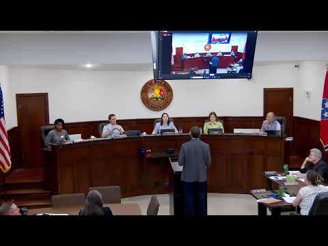
Consultants from Barge Design told Red Bank commissioners that a rightsizing feasibility study for Dayton Boulevard found the corridor can be reconfigured from a five-lane to a three-lane section while keeping a center turn lane and adding space for separated bike facilities and landscaping.
The study covered Dayton Boulevard from Signal Mountain Road to Gap Road, roughly five miles within the city limits, and assessed existing traffic, crash history, pedestrian connectivity and future operations. Geneva Dowdy, one of the project’s transportation experts, summarized the main finding: “the study found it was feasible to reconfigure Dayton Boulevard from the 5 lane section to the 3 lane section for vehicle travelway.”
Why it matters: City staff and the consultant framed the reconfiguration as a means to improve safety, walking and biking access and corridor “livability.” The report flags segments with crash rates above the statewide average and sidewalk gaps that reduce pedestrian connectivity; it also identifies signal timing and speed as levers to improve outcomes if lane reallocation occurs.
Barge Design’s analysis and recommendations - The study applied TDOT’s road-diet guidance and looked at present and projected traffic operations, crash patterns focused on vulnerable users, and alignment with existing city plans. - Two short segments — Morrison Springs to Ashland Terrace, and a smaller segment near Signal Mountain Road and Tetra Drive — have crash rates above the statewide average, the report said. - The study found and recommended coordinated signal timing across the corridor and a speed limit reduction from 40 to 35 mph where the cross section and conditions support it. - Consultants proposed maintaining two travel lanes (one each direction) plus a center turn lane, and using reclaimed lane width for separated bike facilities, streetscaping and stormwater bioretention.
Trade‑offs, local concerns and next steps Consultants said the lane reallocation would likely lengthen queues on some approaches and side streets — the study estimated average additional waits of roughly 30–40 seconds on side streets — though coordinated signal timing should mitigate much of that delay. At Morrison Springs and Ashland Terrace, strong left‑turn volumes and a slip lane make lane removal impractical without a separate intersection engineering study; the team noted that removing the slip lane or adding transitional bike lanes could reduce vehicle speeds and conflicts.
Commissioners and residents pressed for more detail on several points: whether the vehicle counts and existing right-of-way informed feasibility, how the Morrison Springs bottleneck would be treated, and how this study connects with other intersection-level safety studies and school‑zone work already underway. The consultant and staff said the rightsizing study is intended as a planning-level, “feasibility” blueprint to support design and future funding applications; detailed designs and intersection engineering would follow if the city pursues implementation.
The consultant recommended using the feasibility report to pursue grant funding, start design work, and to integrate stormwater and landscaping elements (bioretention strips, low-vegetation medians and tree plantings) that could also mitigate runoff related to Stringer’s Branch.
Commissioners were told the city can phase work, pursue design funding, and coordinate this study’s recommendations with separate intersection studies and a broader traffic‑safety committee already looking at corridor improvements. Staff said some intersection improvements (Morrison Springs) are being evaluated under separate safety projects and could be brought to the commission for budget consideration later.
Quotes and public comment Geneva Dowdy, transportation expert with Barge Design, said the study’s methodology followed TDOT guidance and found corridor reconfiguration feasible. Resident Chad Bullard urged the commission to ensure access to businesses and preserve community events when islanding or other crossing treatments are considered.
Ending The feasibility study gives Red Bank a planning-level basis to pursue design and funding; it does not approve construction. Staff said it will use the report to prioritize funding and design steps, and to coordinate the study’s recommendations with ongoing intersection-level analyses and the city’s broader safe-streets goals.