Get Full Government Meeting Transcripts, Videos, & Alerts Forever!
Fire chief urges local review of new state hazard maps; proposes adjusted boundaries and homeowner preparation
Summary
Fire Chief Greg Lloyd briefed commissioners on newly released state fire hazard severity zone maps and said much of South Pasadena’s western edge is now designated Very High. He recommended local review, public education, and possible map adjustments to follow streets for clarity and mitigation planning.
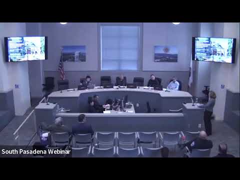
Fire Chief Greg Lloyd told the Public Safety Commission on April 14 that newly published state fire hazard severity zone maps designate almost the entire western edge of South Pasadena as Very High fire hazard severity, and he urged local review and community education.
“These maps are hazard maps, not risk maps,” Lloyd said, distinguishing the state’s 30‑to‑50‑year hazard modeling from the insurer assessments that influence premiums. He explained the maps are built from statewide inputs and that the state used an ember‑cast model for urban (non‑wildland) areas such as South Pasadena. “A hazard map is basically a physical condition that creates the likelihood of expected fire behavior over a 30 to 50 year period without considering mitigation measures,” he said.
Nut graf: the designation has potential implications for building requirements, defensible‑space…
Already have an account? Log in
Subscribe to keep reading
Unlock the rest of this article — and every article on Citizen Portal.
- Unlimited articles
- AI-powered breakdowns of topics, speakers, decisions, and budgets
- Instant alerts when your location has a new meeting
- Follow topics and more locations
- 1,000 AI Insights / month, plus AI Chat